LOCATION.--Lat 42°00'26", long 96°14'29"
referenced to North American Datum of 1927, in NE 1/4 SW 1/4 sec.36,
T.24 N., R.10 E., Burt County, NE, Hydrologic Unit 10230001, on right
bank 500 ft upstream from bridge on State Highway 175 in Decatur, and
691.0 mi upstream from mouth. (map)
DRAINAGE AREA.--316,200 mi2.
SURFACE-WATER RECORDS
PERIOD OF RECORD.--Periodic streamflow measurements from March
1956 to October 1987. Discharge records from October 1987 to current
year.
GAGE.--Water-stage recorder. Datum of gage is
1,010.56 ft above North American Vertical Datum of 1988. Prior to
August 1, 2016, datum of gage was 1,010.00 ft above National Geodetic
Vertical Datum of 1929, supplementary adjustment of 1954. Prior to
February 17, 1975, at datum 20.00 ft higher.
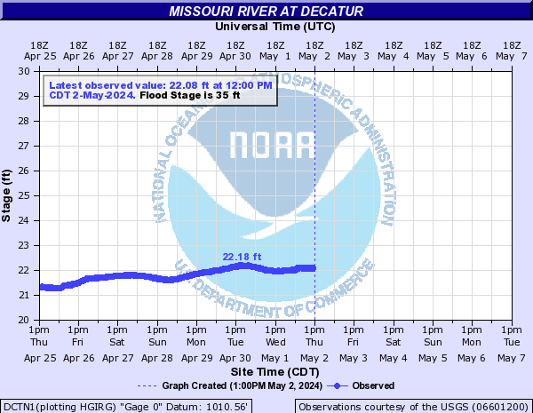
REMARKS.--Flow regulated by upstream main-stem reservoirs. Fort
Randall Dam was completed in July 1952, with storage beginning in
December 1952. Gavins Point Dam was completed in July 1955, with
storage beginning in December 1955.
PERIOD OF RECORD.--Water years 1974-1981.
PERIOD OF DAILY RECORD.--
SPECIFIC CONDUCTANCE: March to November 2006, April to November
2007.
WATER TEMPERATURE: March to November 2006, April to November 2007,
October 2011 to current year.
DISSOLVED OXYGEN: March to November 2006, April to November 2007. pH:
March to November 2006, April to November 2007.
TURBIDITY: March to November 2006, April to November 2007.
 National Weather Service River
Forecast
National Weather Service River
Forecast