PROVISIONAL DATA SUBJECT TO REVISION
Click to hidestation-specific text
 Site Information
LOCATION.--Lat 42°55'20.2", long
78°53'55.8" referenced to North American Datum of
1983, Erie County, NY, Hydrologic Unit 04120104, 6 ft upstream
of CSO outfall into Black Rock Canal, approximately 100 ft from
Interstate Highway 190, 3.0 mi from downtown Buffalo.
PERIOD OF RECORD.--August 2016 to current year.
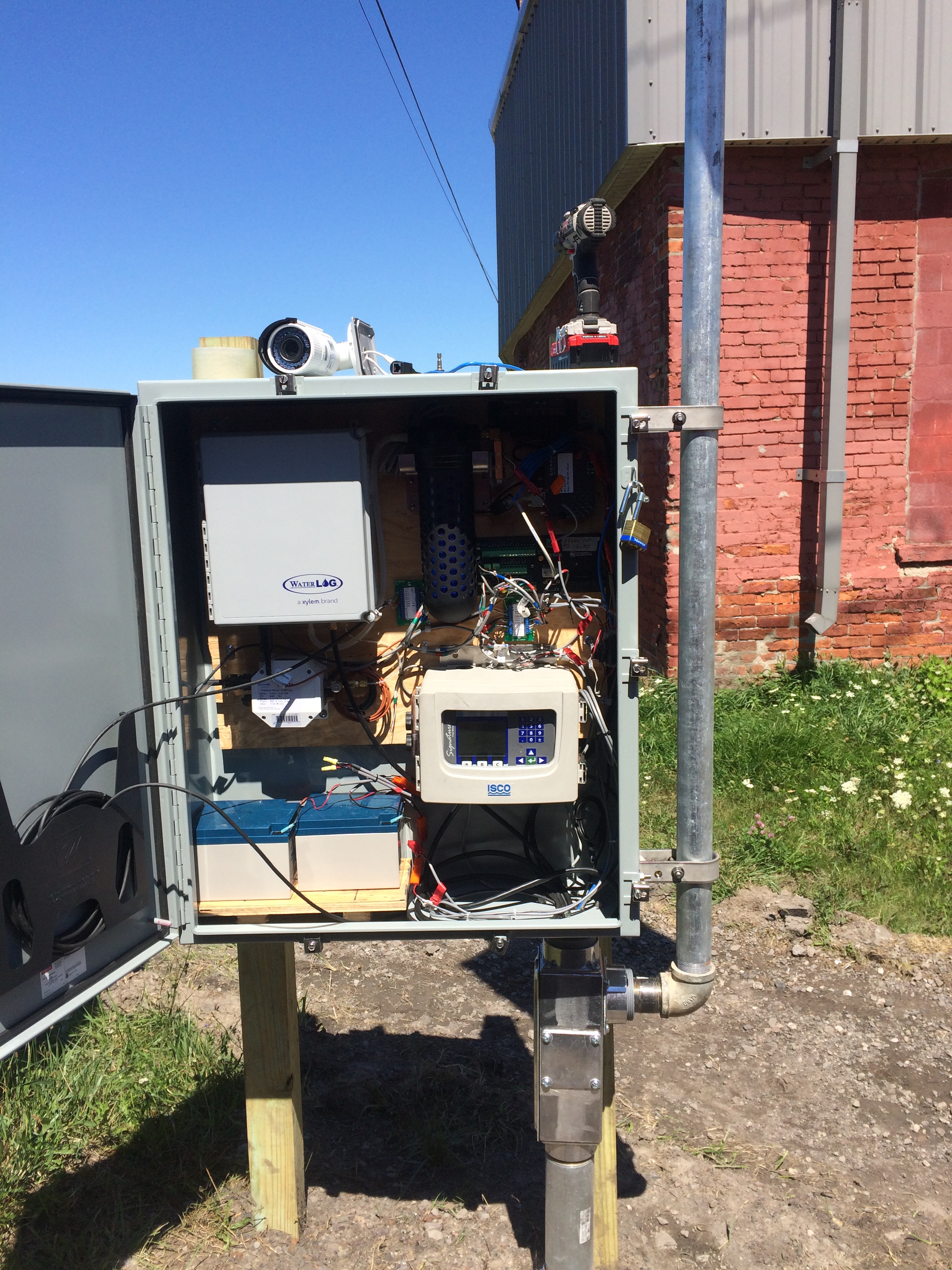
GAGE.--Acoustic velocity meter and water-stage recorder.
REMARKS.--Flow in 2.85 ft diameter storm sewer.
Water Years 2016-20: Records fair except estimated daily discharges, which are poor. Water Years 2021-22: Records poor.
EXTREMES FOR PERIOD OF RECORD.--Maximum discharge, 47.8 ft³/s, June 2, 2020, gage height, 2.54 ft; minimum discharge, 0 ft³/s on many days.
Summary of all available data for this site
Instantaneous-data availability statement
 WaterAlert – get an
email or text (SMS) alert based on your chosen threshold.
 Station image