Page Loading - Please Wait...
- Explore the NEW USGS National Water Dashboard interactive map to access real-time water data from over 13,500 stations nationwide.
Try it out and tell us what you think at wdfn@usgs.gov
Page Loading - Please Wait...
 |
|
|
|
|
 |
|
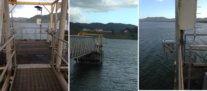
| Photos by USGS, Caribbean-Florida Water Science Center Hydrologic Technicians - San Juan. | |
![]() U.S. Department of the Interior |
U.S. Geological Survey
U.S. Department of the Interior |
U.S. Geological Survey
Title: USGS Surface-Water Daily Data for the Nation
URL:
Page Contact Information: Puerto Rico Water Data Support Team
Page Last Modified: 2025-03-12 17:03:57 EDT
1.73 1.33 sdww01
![Graph of DAILY Lake or reservoir elevation above local mean sea level (LMSL), feet, [OLDPR]](https://natwebsdww01.cr.usgs.gov/nwisweb/data/img/USGS.50076800.319839.72375.32400.20240312.20250312..0..gif)
