LOCATION.--Lat 42°20'58", long
75°59'57" referenced to North American Datum of 1983,
Broome County, NY, Hydrologic Unit 02050102, on left bank 50 ft
upstream from bridge on State Highway 79, at Lisle, and 2.3 mi
upstream from Otselic River.
DRAINAGE AREA.--453 mi².
PERIOD OF RECORD.--Annual maximum only--1988 to current
year. October 2017 to current year (gage heights only).
REVISIONS HISTORY.--WDR NY-04-3: 2001-03 (M).
WDR-US-2010: 2006-09 (M).
GAGE.--Water-stage recorder. Datum of gage is 956.52 ft
above NGVD of 1929 and 956.06 ft above NAVD of 1988.
EXTREMES FOR PERIOD OF RECORD.--Maximum discharge,
19,800 ft³/s, Apr. 2, 2005, gage height, 10.38 ft; maximum gage
height, 10.50 ft, Jan. 19, 1996 (ice jam).

 Site Information
 WaterAlert – get an
email or text (SMS) alert based on your chosen threshold.
WaterAlert – get an
email or text (SMS) alert based on your chosen threshold.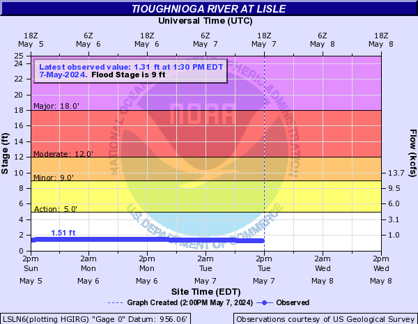
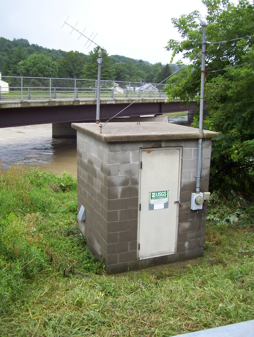 Station image