Funding for this site is provided by:
 STATION.
--01513550 CHOCONUT CREEK NEAR CHOCONUT,
PA
LOCATION.--Lat 41`57'46", long
76`00'05", Susquehanna County, Hydrologic Unit 02050103.
DRAINAGE AREA.--18.5 square miles.
PERIOD OF RECORD.--April 2015 to current year.
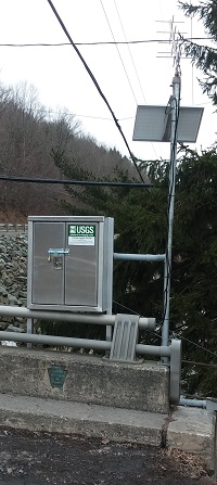
GAGE.--Water-stage recorder and crest-stage gage.
Datum of gage is 1,120 ft above North American Vertical Datum of 1988,
from topographic map. Satellite telemetry at station.
COOPERATION.--Station established and maintained by
the U.S. Geological Survey. Funding for the operation of this station
is provided by Repsol Oil & Gas USA, LLC.
GAGE HEIGHTS OF IMPORTANCE. -
Supplied by NWS: Action stage-8 ft, officials begin
local notification of rising waters; Flood stage-8.5 ft, downstream
flooding occurs at Richards Avenue Park, Vestal Center Park and may
reach some backyards at 9 ft; Moderate flood stage-9.5 ft, flooding of
properties increases on Richards Avenue, Kintner Estates, Glenwood
Road, Coleman Street, West Hill Road, Grand Avenue and Sunset Avenue;
Major flood stage-10.5 ft, widespread flooding begins from the PA State
Line to downtown Vestal. Bridges on Kellum Road, Glenwood Road, West
Hill Road are likely to be flooded.

