LOCATION.--Lat 39°40'34.6", long 78°02'33.1",
Washington County, MD, Hydrologic Unit 02070004, on left bank at downstream side of bridge on
Pectonville Road, 3.0 mi west of Forsythe, and 4.0 mi upstream from mouth.
DRAINAGE AREA.--193 mi2.
PERIOD OF RECORD.--March 2005 to current year.
GAGE.--Water-stage recorder and crest-stage gage. Datum of gage is 399.89 ft above North American
Vertical Datum of 1988.
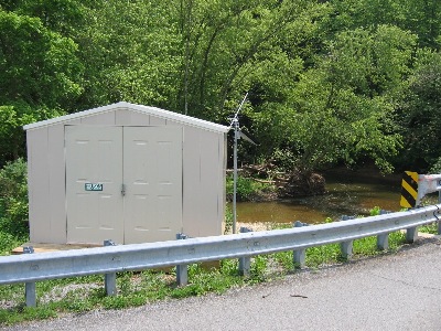
REMARKS.--U.S. Geological Survey satellite data-collection platform at station.
EXTREMES FOR PERIOD OF RECORD.--Maximum discharge, 8,590 ft³/s, March 29, 2005, maximum gage height, 11.19 ft, Sept. 2, 2021;
minimum discharge, 8.31 ft³/s, Sept. 5, 6, 9, 2016.
COOPERATION.--Funding for the operation of this station is provided by the U.S. Environmental Protection
Agency.

