 LOCATION.--Lat
39°30'9.9", long 79°19'37.9", Garrett County,
Hydrologic Unit 05020006, on right bank, 375 ft upstream of culvert at
State Highway 219, 4.0 mi southeast of McHenry, 0.25 mi northwest of
Thayerville, and 450 ft upstream of confluence with Deep Creek
Lake.
LOCATION.--Lat
39°30'9.9", long 79°19'37.9", Garrett County,
Hydrologic Unit 05020006, on right bank, 375 ft upstream of culvert at
State Highway 219, 4.0 mi southeast of McHenry, 0.25 mi northwest of
Thayerville, and 450 ft upstream of confluence with Deep Creek
Lake.
DRAINAGE AREA.--1.03 mi2, from automated delineation
using 30-meter National Elevation Dataset, digital elevation model
data, dated February 2011.
PERIOD OF RECORD.--January to June 2017 (gage heights and
discharge measurements only), July 2017 to current year. Water quality
data, August 11, 1983, published as PINEY RUN AT THAYERVILLE.
REVISION
HISTORY.--https://waterdata.usgs.gov/nwis/dv/?site_no=03075850:
2020.
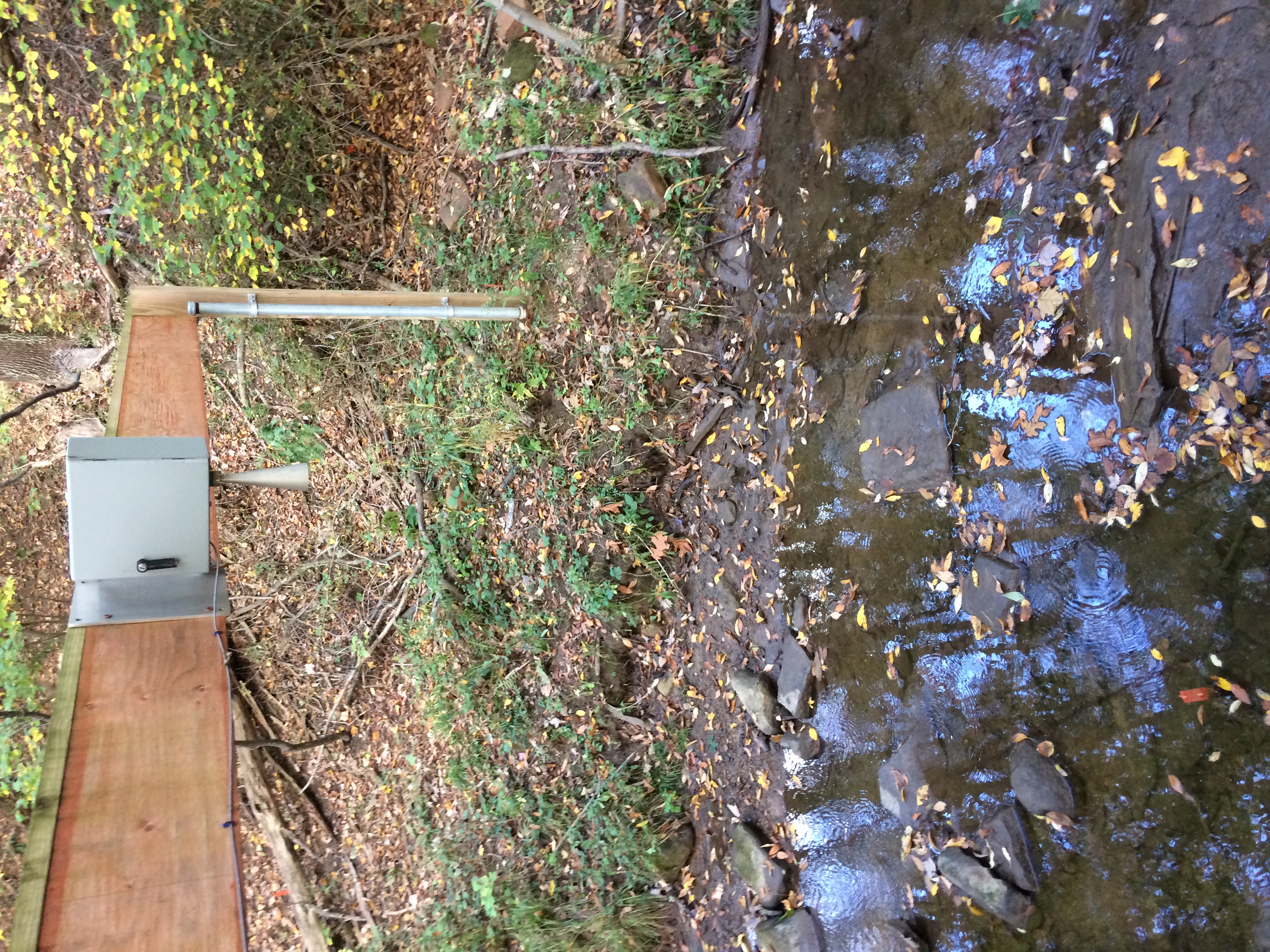
GAGE.--Water-stage recorder and crest-stage gage. Datum of gage
is 2461.88 ft above North American Vertical Datum of 1988.
REMARKS.--U.S. Geological Survey satellite data-collection
platform at station.
EXTREMES FOR PERIOD OF RECORD.--Maximum discharge, 277 ft³/s,
Sep. 1, 2021, gage height, 4.22 ft; minimum discharge, 0.02
ft³/s,
Oct. 11, 23-24, 2020, Jul. 31-Aug. 3, 2021, Aug. 8-10, 14 and 15, 2021,
Aug. 28-30, 2021, and Sep. 30, 2021.
COOPERATION.--Funding for the operation of this station is
provided by the Maryland Department of Natural Resources and the U. S.
Geological Survey.
This station managed by the MD-DE-DC Water Science Center Frostburg office.
Summary of all available data for this site
Instantaneous-data availability statement

