Funding for this site is provided by:
 STATION.
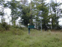
--411833075133601 PIKE COUNTY, local well
number PI 522.
LOCATION.--Lat 41`18'33.1", long
75`13'36.7", Hydrologic Unit 02040103.
OWNER.--U.S. Geological Survey.
AQUIFER.--Catskill Formation.
WELL CHARACTERISTICS.--Drilled observation well, depth
150 ft.
INSTRUMENTATION.--Data collection platform with
60-minute recording interval. Satellite telemetry at station.
DATUM.--Elevation of land surface is 1,758 ft above
North American Vertical Datum of 1988, from Lidar.
PERIOD OF RECORD.--September 2001 to current
year.
COOPERATION.--Funding for the operation of this
station is provided by the Pennsylvania Department of Environmental
Protection and the U.S. Geological Survey.

