LOCATION.--Lat 42°41'36", long
75°02'51" referenced to North American Datum of 1927,
Otsego County, NY, Hydrologic Unit 02050101, at "Wild
Creek Farm", 0.6 mi northeast of intersection of State
Highway 205 and Kallan Road, 2.2 mi north of Hartwick, and 3.2
mi southeast of Oaksville.
WELL CHARACTERISTICS.--Depth 15 ft. Upper casing
diameter 36 in; top of first opening 15 ft, bottom of last
opening 15 ft. Cased to 15 ft (stone lined). Elevation of
land-surface datum is 1,432.44 ft above NGVD of 1929 and
1,432.00 ft above NAVD of 1988.
DATUM.--Land-surface datum is 1,432 ft above North
American Vertical Datum of 1988. Measuring point: Top of
concrete cover, 0.06 ft below land-surface datum, May. 17, 2017
to Jun. 29, 2022; Top of concrete cover, 0.01 ft below
land-surface datum, Jun. 29, 2022 to present.
PERIOD OF RECORD.--May 1953 to August 1995, January 1997
to current year. Records for May 1953 to September 1976 are
available in files of the U.S. Geological Survey.
GAGE.--Water-stage recorder--15 minute; periodic
measurement by USGS personnel.
REMARKS.--Satellite water-level telemeter at
station.
EXTREMES FOR PERIOD OF RECORD.--Highest water level,
2.24 ft below land-surface datum, June 28, 2006; lowest water
level measured, 12.66 ft below land-surface datum, Nov. 14,
1964.

 Site Information
 WaterAlert – get an
email or text (SMS) alert based on your chosen threshold.
WaterAlert – get an
email or text (SMS) alert based on your chosen threshold.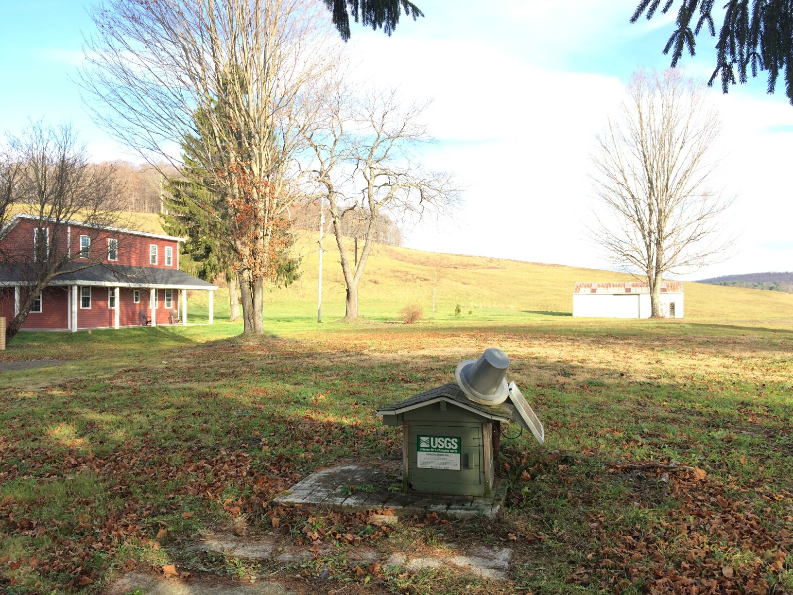 Station image