LOCATION.--Lat 41°16'53", long 92°51'40.7"
referenced to North American Datum of 1927, in SE 1/4 NE 1/4 SW 1/4
sec.19, T.75 N., R.17 W., Mahaska County, IA, Hydrologic Unit
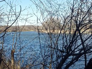
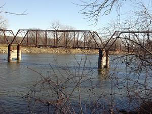
07100009, on right bank 250 ft upstream from abandoned Bellefountaine
bridge, 0.8 mi east of Tracy, 3.8 mi downstream from bridge on State
Highway 92, 3.1 mi upstream from Cedar Creek, 6.4 mi downstream from
English Creek, and 127.5 mi upstream from mouth. (map)
DRAINAGE AREA.--12,479 mi2.
SURFACE-WATER RECORDS
PERIOD OF RECORD.--Discharge records from March 1920 to current
year. Prior to March 1940, monthly mean discharge for some periods
published in WSP 1308.
REVISED RECORDS.--WSP 1438: Drainage area. WSP 1508: 1920 (M),
1922 (M), 1933.
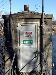
GAGE.--Water-stage recorder. Datum of gage is 670.91 ft above
National Geodetic Vertical Datum of 1929. Prior to June 27, 1940, and
June 30, 1952, to November 4, 1960, non-recording gage at site 250 ft
downstream at same datum; June 27, 1940, to June 29, 1952,
water-stage recorder at site 250 ft downstream at same datum.
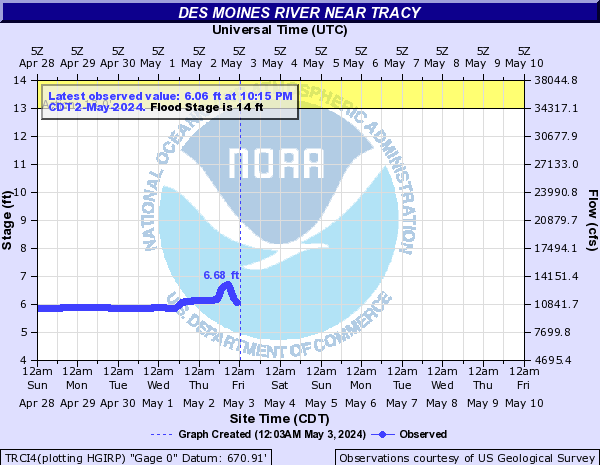
REMARKS.--Flow regulated by Lake Red Rock (station 05488100), 11.9
mi upstream, since March 12, 1969.
WATER-QUALITY RECORDS
PERIOD OF RECORD.--Water year 2008.
 Site Information