Warning: Javascript must be enabled to use all the features on this page!


Page Loading - Please Wait...

Click to hideNews Bulletins
  • Explore the NEW USGS National Water Dashboard interactive map to access real-time water data from over 13,500 stations nationwide.
  • How are we doing? We want to hear from you. Take our quick survey to tell us what you think.

USGS 06149100 Vidora Ditch near Consul Sask

PROVISIONAL DATA SUBJECT TO REVISION

Click to hidestation-specific text
Flood Tracking - Stage Flood Tracking - Discharge Gage-height Corrections Base Rating Shifted Rating
(About shift-adjusted ratings).
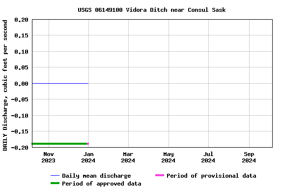
Station operated March through October and records furnished by Water Survey Canada and reviewed and approved by the USGS Wyoming-Montana Water Science Center in cooperation with the U.S. Department of State and in accordance with the Boundary Waters Treaty of 1909 as overseen by the International Joint Commission .
Leaving USGS: U.S. Coast Guard boating safety tips.
This station managed by the Helena Field Unit.

Available Parameters Period of Record
  
1953-03-01  2023-12-31


 (365)
 

  -- or --


Summary of all available data for this site
Instantaneous-data availability statement


Discharge, cubic feet per second


Graph of DAILY Discharge, cubic feet per second

Add up to 2 more sites and replot for "Discharge, cubic feet per second"

?


Create presentation-quality graph.