LOCATION.--Lat 39°32'16.8", long 79°18'56.8", Garrett County, MD, Hydrologic Unit 05020006, on right bank,
3.0 mi southeast of McHenry, 3.2 mi northeast of Thayerville, and 0.15 mi upstream of confluence with
Deep Creek Lake.
DRAINAGE AREA.--13.1 mi2.
PERIOD OF RECORD.--October 2007 to current year.
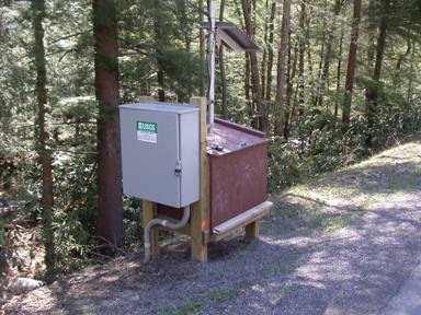
GAGE.--Water-stage recorder and crest-stage gage. Datum of gage is 2,465.0 ft above North American Vertical
Datum of 1988.
REMARKS.--Occasional diversions and regulation from unknown source upstream from station.
U.S. Geological Survey satellite data-collection platform at station. Rainfall displayed at this location is published
under site number 393217079185701.
EXTREMES FOR PERIOD OF RECORD.--Maximum discharge, 853 ft³/s, March 13, 2010, gage height, 5.82 ft;
minimum discharge, 0.08 ft³/s, Sept. 8, 2010.
COOPERATION.--Funding for the operation of this station is provided by the Maryland Department
of Natural Resources, and the U.S. Geological Survey.