USGS 385553107243301 NORTH FORK GUNNISON BLW RAVEN GULCH NR SOMERSET

PROVISIONAL DATA SUBJECT TO REVISION

Click to hidestation-specific text
Click for larger image

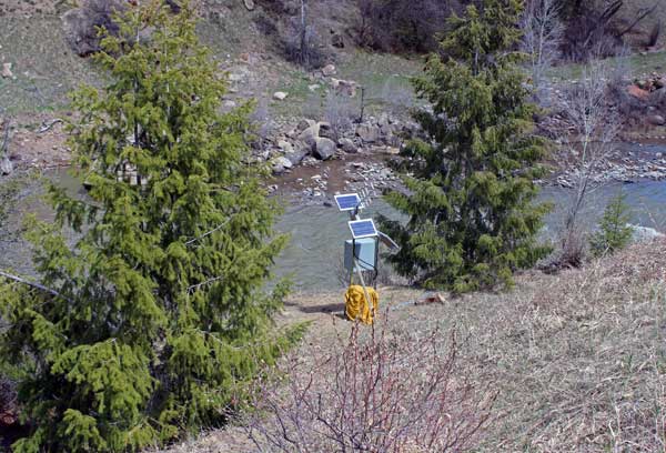
This site is operated seasonally, March 1st through November 30th only.

Station operated by the U.S. Geological Survey in cooperation with Bureau of Reclamation.

Click for discharge at the nearby North Fork Gunnison River Near Somerset.

This station managed by the Grand Junction Field Office.

Available Parameters Available Period
  
2015-04-10  2024-07-27
2015-04-10  2024-07-27
2021-07-27  2024-07-27
2021-07-27  2024-07-27
2021-07-27  2024-07-27
2021-07-27  2024-07-27
2021-07-27  2024-07-27
2021-07-27  2024-07-27


 (7)
 

  -- or --


Summary of all available data for this site
Instantaneous-data availability statement


Turbidity, water, unfiltered, monochrome near infra-red LED light, 780-900 nm, detection angle 90 +-2.5 degrees, formazin nephelometric units (FNU)

Most recent instantaneous value: 10.0 07-27-2024   05:30 MDT
Graph of  Turbidity, water, unfiltered, monochrome near infra-red LED light, 780-900 nm, detection angle 90 +-2.5 degrees, formazin nephelometric units (FNU)

Add up to 2 more sites and replot for "Turbidity, water, unfiltered, monochrome near infra-red LED light, 780-900 nm, detection angle 90 +-2.5 degrees, formazin nephelometric units (FNU)"

?


Create presentation-quality / stand-alone graph.   Subscribe to WaterAlert      

See this graph on the Monitoring Location Pages