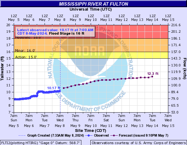
PROVISIONAL DATA SUBJECT TO REVISION
Click to hidestation-specific text
 National Weather Service River
Forecast
Funding For This Site Provided By:
Prior to Nov. 24, 2021, water quality sensors were located downstream at 05420500 Mississippi River at Clinton, IA.
Instantaneous-data availability statement
 Advanced
Hydrologic Prediction Service


