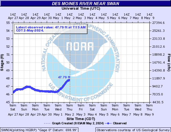
LOCATION.--Lat 41°29'21.84", long 93°16'41.70"
referenced to North American Datum of 1983, in NE 1/4 SW 1/4 NE 1/4
sec.9, T.77 N., R.21 W., Marion County, IA, Hydrologic Unit 07100008,
on left bank 75 ft south of Beardsley Drive, 4.5 mi downstream of
bridge on State Highway 316, 1.6 mi northeast of Swan, 3.9 mi
downstream from Camp Creek, 23.7 mi upstream from Red Rock Dam, and
162.9 mi upstream from mouth. (map)
DRAINAGE AREA.--11,700 mi2.
SURFACE-WATER RECORDS
PERIOD OF RECORD.--Discharge records from October 2009 to current
year. October 1985 to September 2009, at site 4.5 mi upstream and
published as "near Runnells" (station 05487500). Records
are not equivalent because of difference in drainage area.
GAGE.--Water-stage recorder. Datum of gage is 699.24 ft above
North American Vertical Datum of 1988.
REMARKS.--Flow regulated by Saylorville Lake (station 05481630),
38.7 mi upstream. Stage-discharge relation is affected at times by
backwater from Lake Red Rock (station 05488100).
WATER-QUALITY RECORDS
PERIOD OF DAILY RECORD.--
WATER TEMPERATURE: October 2011 to current year.
 National Weather Service River
Forecast
 Advanced
Hydrologic Prediction Service