USGS 13310700 SF SALMON RIVER NR KRASSEL RANGER STATION ID

PROVISIONAL DATA SUBJECT TO REVISION

Click to hidestation-specific text
SF Salmon River near Krassel Ranger Station, ID - USGS file photo SF Salmon River near Krassel Ranger Station, ID - High flow June 2010

> Rating Information

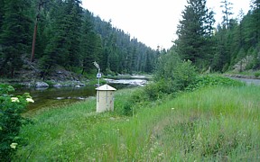
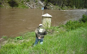
Station operated in cooperation with U.S. Forest Service and Idaho Department of Water Resources.

This station managed by the Boise Field Office.

Available Parameters Available Period
  
1989-03-14  2023-12-05
2007-10-01  2023-12-05


 (7)
 

  -- or --


Summary of all available data for this site
Instantaneous-data availability statement


Discharge, cubic feet per second

Most recent instantaneous value: 232 12-05-2023   18:45 MST
Graph of  Discharge, cubic feet per second

Add up to 2 more sites and replot for "Discharge, cubic feet per second"

?


Create presentation-quality / stand-alone graph.   Subscribe to WaterAlert      

See this graph on the Monitoring Location Pages


Daily discharge, cubic feet per second -- statistics for Dec 5 based on 50 water years of record more
Min
(2019)
25th
percen-
tile
Median 75th
percen-
tile
Mean Most Recent
Instantaneous
Value Dec 5
Max
(2013)
40.7 124 161 223 229 232 1810


Gage height, feet

Most recent instantaneous value: 2.16 12-05-2023   18:45 MST
Graph of  Gage height, feet

Add up to 2 more sites and replot for "Gage height, feet"

?


Create presentation-quality / stand-alone graph.   Subscribe to WaterAlert      

See this graph on the Monitoring Location Pages