PROVISIONAL DATA SUBJECT TO REVISION
Click to hidestation-specific text
 LOCATION.--Lat
39°19'56.2", long 76°25'40.0", Baltimore County, MD,
Hydrologic Unit 02060003, at culvert on east side of Wilson Point Rd,
450 ft south
LOCATION.--Lat
39°19'56.2", long 76°25'40.0", Baltimore County, MD,
Hydrologic Unit 02060003, at culvert on east side of Wilson Point Rd,
450 ft southof Chesapeake Park Plaza near Martin State Airport, and 0.5 mi southeast of Middle River.
DRAINAGE AREA.--0.09 mi2.
PERIOD OF RECORD.--July 2018 to current year.
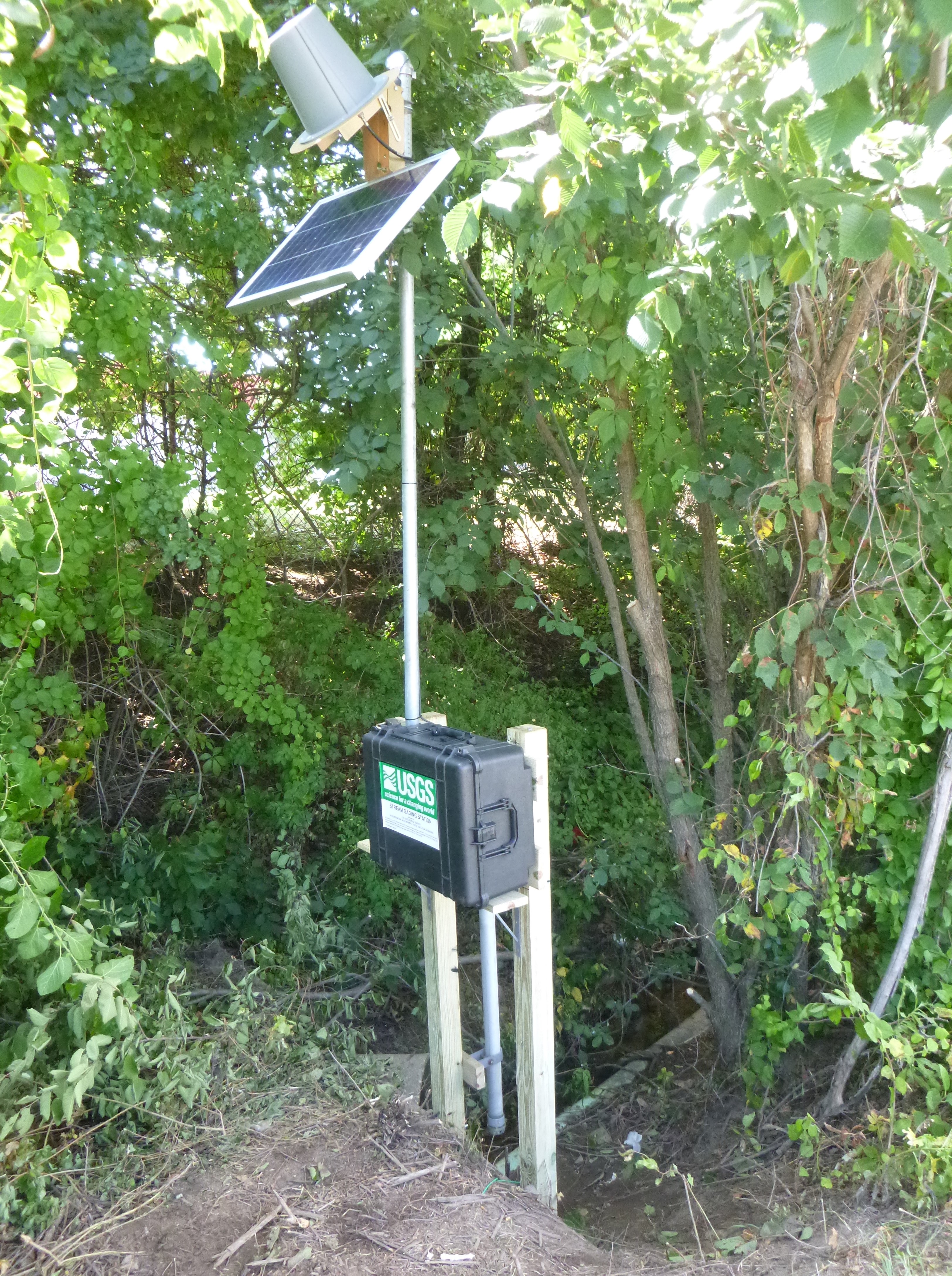
GAGE.--Water-stage recorder and crest-stage gage. Datum of gage is 0.00 ft above North American Vertical Datum of 1988.
REMARKS.--U.S. Geological Survey satellite data-collection platform at station.
EXTREMES FOR PERIOD OF RECORD.--Maximum elevation, 13.06 ft, August 7, 2018.
COOPERATION.--Funding for the operation of this station is provided by the Maryland State Highway Administration.
NOTICE: This monitoring location is intended to
provide water level data during periods of overland
flooding.
The monitoring equipment has been installed such that when water
reaches ~6.6 ft (NAVD88), the sensor will respond, track, and
transmit data for as long as the sensor is inundated. During all
other periods of time, no data is expected to
report.
Summary of all available data for this site
Instantaneous-data availability statement
