PROVISIONAL DATA SUBJECT TO REVISION
Click to hidestation-specific text
Funding for this site is provided by:
 Site Information
LOCATION.--Lat 40°46'20.2", long
73°09'31.2" referenced to North American Datum of
1983, Suffolk County, NY, Hydrologic Unit 02030202, 10 ft
downstream from bridge on dirt road in Connetquot River State
Park Preserve, 1.8 mi upstream from gaging station 01306495, 2
mi southwest of Central Islip.
DRAINAGE AREA.--21.9 mi² of which 5.60 mi² probably is noncontributing.
PERIOD OF RECORD.--Occasional low-flow measurements, water years 1968, 1973-77. November 1977 to current year.
REVISIONS HISTORY.--WDR-US-2009: Drainage area.
GAGE.--Water-stage recorder and wooden stoplog control. Datum of gage is 15.10 ft above NGVD of 1929 and 13.98 ft above NAVD of 1988 (VERTCON).
REMARKS.--Water Years 2014-24: Records fair except those for estimated daily discharges and those above 160 ft³/s, which are poor.
EXTREMES FOR PERIOD OF RECORD.--Maximum discharge, about 510 ft³/s, Aug. 13, 2014, gage height, 5.02 ft, backwater from debris, from rating curve extended above 80 ft³/s; minimum discharge, 9.0 ft³/s, Aug. 18, 19, 2002, gage height, 2.24 ft; minimum gage height observed, 1.46 ft, Apr. 1, 1996.
 WaterAlert – get an
email or text (SMS) alert based on your chosen threshold.
WaterAlert – get an
email or text (SMS) alert based on your chosen threshold.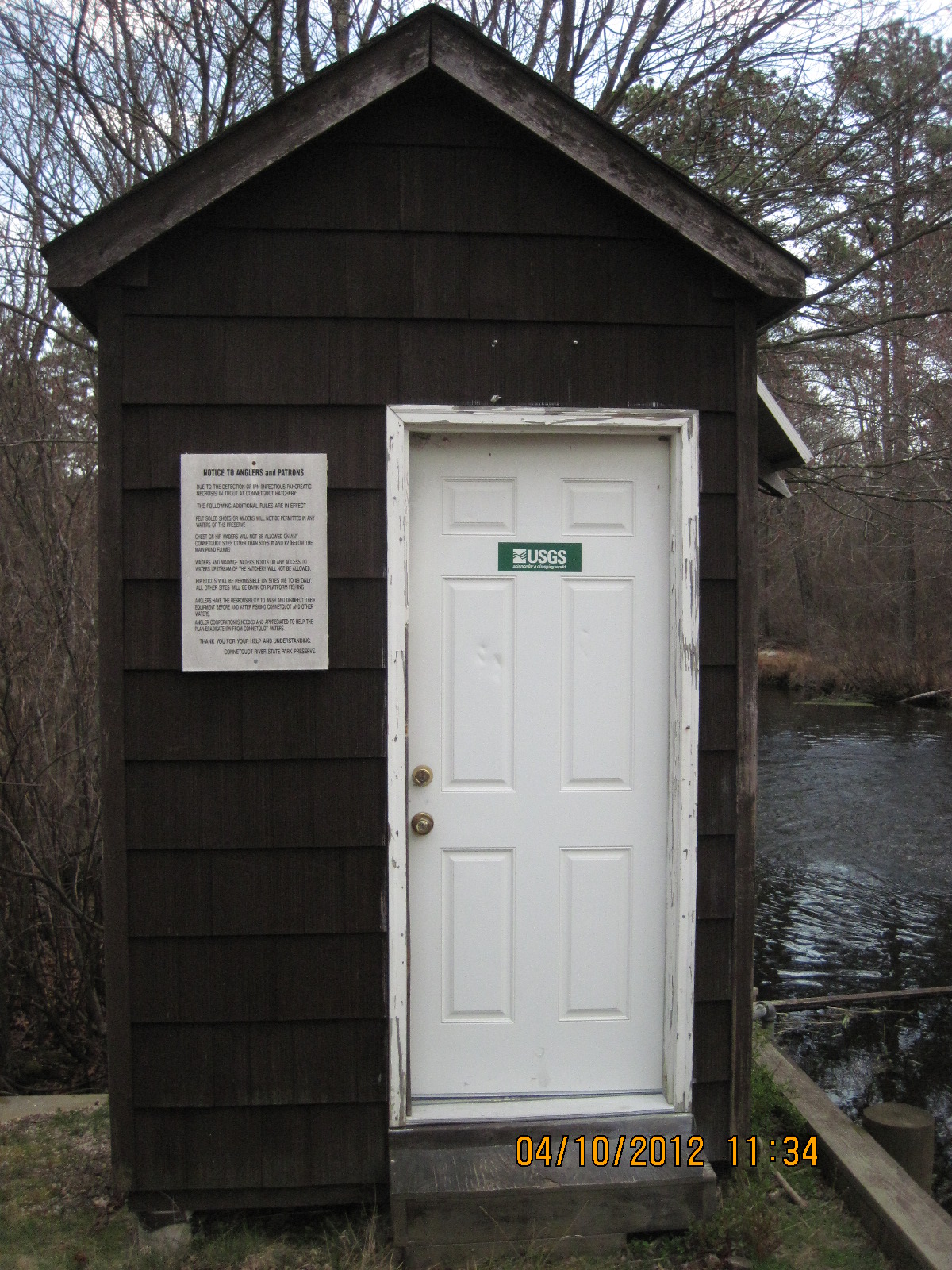 Station image
Summary of all available data for this site
Instantaneous-data availability statement

