PROVISIONAL DATA SUBJECT TO REVISION
Click to hidestation-specific text
Funding for this site is provided by:
 STATION.--01464645 NORTH BRANCH NESHAMINY CREEK
BELOW LAKE GALENA NEAR NEW BRITAIN, PA
STATION.--01464645 NORTH BRANCH NESHAMINY CREEK
BELOW LAKE GALENA NEAR NEW BRITAIN, PALOCATION.--Lat 40`18'44", long 75`12'25", Bucks County, Hydrologic Unit 02040201, on left bank 0.3 mi downstream from Lake Galena (Peace Valley Reservoir), 1.5 mi west of New Britain, 2.0 mi north of Chalfont on Callowhill Road, and 4.0 mi west of Doylestown.
DRAINAGE AREA.--16.2 square miles.
PERIOD OF RECORD.--November 1985 to current year.
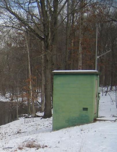
GAGE.--Water-stage recorder, crest-stage gage and concrete control. Elevation of gage is 280 ft above National Geodetic Vertical Datum of 1929, from topographic map. Satellite and landline telemetry at station.
COOPERATION.--Funding for the operation of this station is provided by Bucks County Commissioners, the North Penn Water Authority and the North Wales Water Authority.
REMARKS.--Flow regulated by Lake Galena (Peace Valley Reservoir).
GAGE HEIGHTS OF IMPORTANCE.-
Supplied by USGS: Data transmitter operational limit - 17.4 ft;
Supplied by NWS: No flood stage has been determined for this station.
Summary of all available data for this site
Instantaneous-data availability statement

