PROVISIONAL DATA SUBJECT TO REVISION
Click to hidestation-specific text
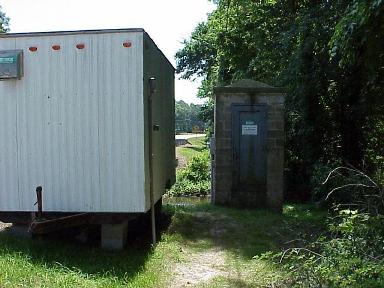
LOCATION.--Lat 38°13'44.1", long 75°28'17.2", Worcester County, MD, Hydrologic Unit 02080111,
   on right bank 15 ft downstream from bridge on State Highway 12, 0.5 mi upstream from Furnace Branch,
   0.6 mi downstream from Millville Creek, 5.5 mi northwest of Snow Hill, and 7.3 mi upstream from mouth.
DRAINAGE AREA.--44.9 mi2.
PERIOD OF RECORD.--December 1949 to current year.
REVISIONS HISTORY.--WSP 1332: 1953. https://waterdata.usgs.gov/nwis/dv/?site_no=01485500: 2016
GAGE.--Water-stage recorder, concrete control, and crest stage gage. Datum of gage is 11.49 ft above North
   American Vertical Datum of 1988.
REMARKS.--U.S. Geological Survey satellite data-collection platform at station. Water-quality records for
   some prior periods have been collected at this location.
EXTREMES FOR PERIOD OF RECORD.--Maximum discharge, 3,930 ft3/s, Aug. 19, 1989, gage height, 9.07 ft;
   minimum discharge, 0.63 ft3/s, Aug. 14, 2002, Aug. 12, 13, 2011.
COOPERATION.--Funding for the operation of this station is provided by the Maryland Geological Survey,
   and the U.S Geological Survey.
Summary of all available data for this site
Instantaneous-data availability statement


