PROVISIONAL DATA SUBJECT TO REVISION
Click to hidestation-specific text
Funding for this site is provided by:
 STATION.--01553850 CHILLISQUAQUE CREEK NEAR POTTS
GROVE, PA
STATION.--01553850 CHILLISQUAQUE CREEK NEAR POTTS
GROVE, PALOCATION.--Lat 40`58'28", long 76`48'00", Northumberland County, Hydrologic Unit, 02050206, on left downstream end of bridge on Shakespeare Road (SR 1025), 1.5 mi south of Potts Grove, 5.5 mi upstream from mouth.
DRAINAGE AREA.--101.2 square miles.
PERIOD OF RECORD.--January 2013 to current year.
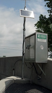
GAGE.--Water-stage recorder and crest-stage gage. Datum of gage is 439.1 ft above North American Vertical Datum of 1988 (NAVD88) from GNSS survey. Prior to June 5, 2025, the datum of gage was reported at 439 ft above NAVD88 in some sources. Satellite telemetry at station.
COOPERATION.--Station established and maintained by the U.S. Geological Survey in cooperation with the U.S. Environmental Protection Agency.
GAGE HEIGHTS OF IMPORTANCE.-
Supplied by USGS: Maximum recordable gage height (stage sensor operational limit) 36.6 ft.
Summary of all available data for this site
Instantaneous-data availability statement


