PROVISIONAL DATA SUBJECT TO REVISION
Click to hidestation-specific text
|
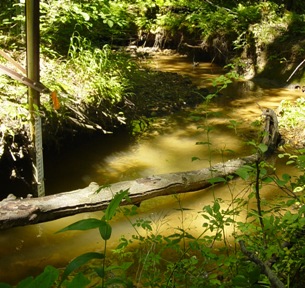 |
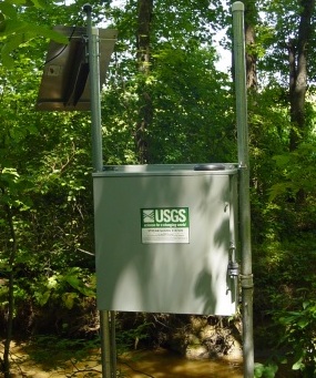
LOCATION.--Lat 39°13'21.8", long 77°14'57.7", Montgomery County, Hydrologic Unit 02070008,
   on left bank, 1.2 mi northwest of Brink, MD, and 1.9 mi southwest of Cedar Grove, MD.
DRAINAGE AREA.--0.37 mi2.
PERIOD OF RECORD.--June 2004 to current year.
GAGE.--Water-stage recorder and crest-stage gage. Datum of gage is 489.10 ft above North American
   Vertical Datum of 1988.
REMARKS.--Records are furnished by the Montgomery County Department of Environmental Protection.
   U.S. Geological Survey satellite data-collection platform at station.
EXTREMES FOR PERIOD OF RECORD.--Maximum discharge, 453 ft³/s, July 30, 2016, gage height, 8.48 ft;
   minimum discharge, 0 ft³/s, no flow at times in water years 2005-2008.
COOPERATION.--Funding for the operation of this station is provided by the Montgomery County
   Department of Environmental Protection.
| Boating safety tips |
Summary of all available data for this site
Instantaneous-data availability statement


