PROVISIONAL DATA SUBJECT TO REVISION
Click to hidestation-specific text
NOTICE (09/20/2022)--Data collection at this streamgage will be discontinued on 11/14/2022. After a period of down time, the gage will begin collecting data at a new location further downstream with a different site ID. If there are questions concerning the operation of this site, please contact Chuck Walker (cwwalker@usgs.gov;443-498-5523).
 LOCATION.--Lat
38°56'03.0", long 76°56'21.3", Prince George's
County, MD, Hydrologic Unit 02070010, on left bank, 0.4 mi southwest of
Bladensburg.
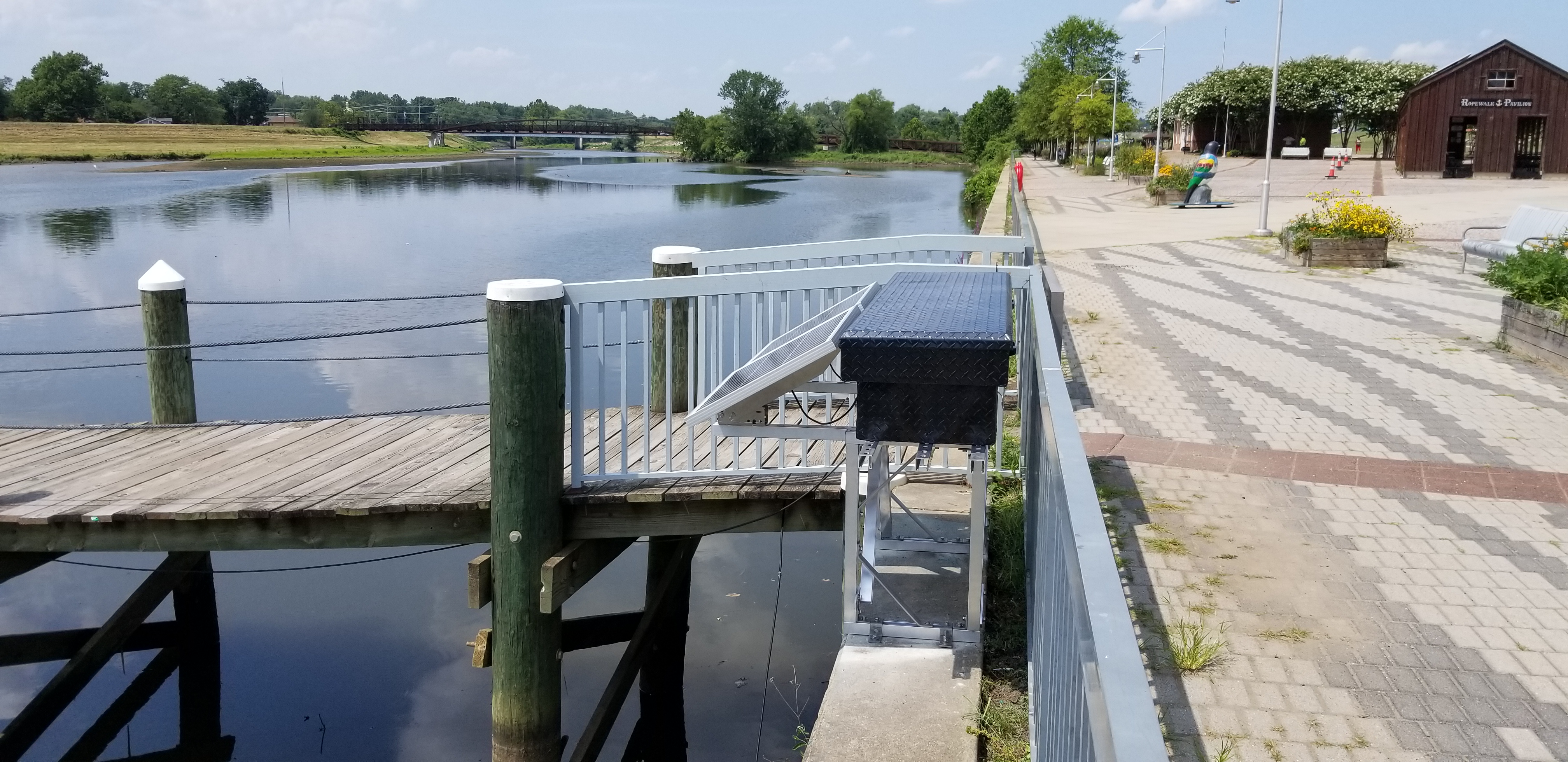
LOCATION.--Lat
38°56'03.0", long 76°56'21.3", Prince George's
County, MD, Hydrologic Unit 02070010, on left bank, 0.4 mi southwest of
Bladensburg.DRAINAGE AREA.--128 mi2.
PERIOD OF RECORD.--July 2021 to current year.
GAGE.--Water-stage recorder, crest-stage gage, velocity meter, and water-quality sensor. Datum of gage is 0.00 ft above North American Vertical Datum of 1988.
REMARKS.--U.S. Geological Survey satellite data-collection platform at station.
COOPERATION.--Funding for the operation of this station is provided by the Washington D.C. Department of Energy & Environment, Urban Waters Federal Partnership, and the U. S. Geological Survey.
Summary of all available data for this site
Instantaneous-data availability statement