PROVISIONAL DATA SUBJECT TO REVISION
Click to hidestation-specific text
Funding for this site is provided by:
 STATION.--03041029 CONEMAUGH RIVER AT MINERSVILLE,
PA
STATION.--03041029 CONEMAUGH RIVER AT MINERSVILLE,
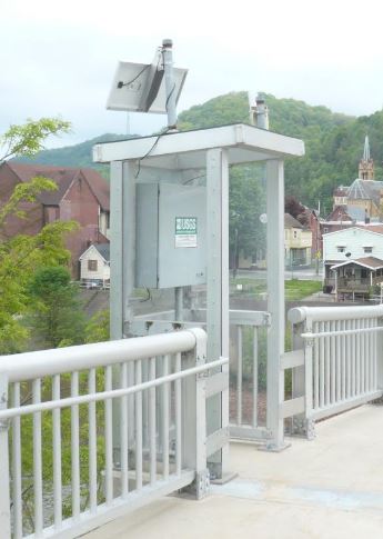
PALOCATION.--Lat 40`20'29", long 78`55'34", Cambria County, Hydrologic Unit 05010007, at iron truss reinforced concrete deck bridge on Fourth Ave., 2,100 ft northeast of State Highways 56 and 403 at Johnstown, and 4,000 ft downstream from confluence of Little Conemaugh River and Stony Creek.
DRAINAGE AREA.--678 square miles.
PERIOD OF RECORD.--December 2001 to current year.
GAGE.--Water-stage recorder and crest-stage gage. Datum of gage is 1130.9 ft above North American Vertical Datum of 1988. Prior to December 5, 2023, the datum of gage was incorrectly reported as 1140 ft above National Geodetic Vertical Datum of 1929. Satellite telemetry at station.
COOPERATION.--Station established and maintained by the U.S. Geological Survey.
REMARKS.--Flow regulated by steel mills and reservoirs above the station. During low-flow, possible industrial diversion/discharge from Johnstown.
GAGE HEIGHTS OF IMPORTANCE.-
Supplied by NWS: Action stage: 23 ft; Flood stage: 28 ft; Moderate flood stage: 30 ft; Major flood stage: 34 ft.
Summary of all available data for this site
Instantaneous-data availability statement


