USGS 09166500 DOLORES RIVER AT DOLORES, CO.

PROVISIONAL DATA SUBJECT TO REVISION

Click to hidestation-specific text
USGS station 09166500

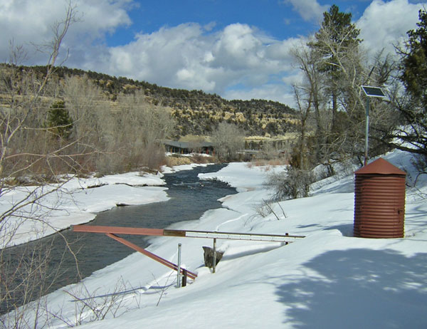
One or more sensors at this site are operated seasonally. Contact Steve Anders for more information at spanders@usgs.gov.

Station operated by the U.S. Geological Survey, Colorado Water Science Center, as part of the USGS National Streamflow Information Program (NSIP).

Current shift adjusted rating table.
What is a shift adjusted stage-discharge rating table?

Boating safety tips

This station managed by the Durango Field Office.

Available Parameters Available Period
  
2019-04-18  2024-04-18
1986-04-01  2024-04-18
2020-10-01  2024-04-18


 (7)
 

  -- or --


Summary of all available data for this site
Instantaneous-data availability statement


Precipitation, total, inches

Most recent instantaneous value: 0.00 04-18-2024   08:45 MDT
Graph of  Precipitation, total, inches

Add up to 2 more sites and replot for "Precipitation, total, inches"

?


Create presentation-quality / stand-alone graph.   Subscribe to WaterAlert      

See this graph on the Monitoring Location Pages