PROVISIONAL DATA SUBJECT TO REVISION
Click to hidestation-specific text
 Rating Information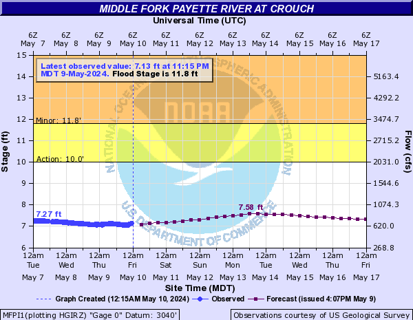
The vertical datum was lowered 5 ft on May 3, 2016 to avoid negative gage heights.
Station is operated in cooperation with the Idaho Department of Water Resources (IDWR) and Water District 65.
Summary of all available data for this site
Instantaneous-data availability statement


