Most recent instantaneous value: 19.8 02-24-2026 18:45 EST

See this graph on the Monitoring Location Pages
Computed discharge at this station may differ from individual measurements because of changes in tidal influence,
wind, or other factors.

| Most Recent Instantaneous Value Feb 24 | Min (2018) | 25th percen- tile | Median | Mean | 75th percen- tile | Max (2016) |
|---|---|---|---|---|---|---|
| -2260 | -310 | -145 | 3.8 | 29 | 167 | 478 |


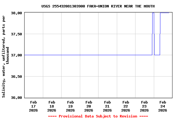
![Graph of Stream water level elevation above NAVD 1988, in feet, [1]](https://natwebsdww01.cr.usgs.gov/nwisweb/data/img/USGS.255432081303900.302180.63160..20260217.20260224..0..gif)


![]() U.S. Department of the Interior |
U.S. Geological Survey
U.S. Department of the Interior |
U.S. Geological Survey
Title: USGS Current Conditions for the Nation
URL:
Page Contact Information: Florida Water Science Center - Ft. Lauderdale Water Data Support Team
Page Last Modified: 2026-02-24 19:15:51 EST
7.74 6.25 sdww01