USGS 261543080495000 L-28 CANAL ABOVE S-140 NEAR CLEWISTON, FL

PROVISIONAL DATA SUBJECT TO REVISION

Click to hidestation-specific text

This gage is monitored in cooperation with the Seminole Tribe of Florida

Link to the Seminole Tribe of Florida.

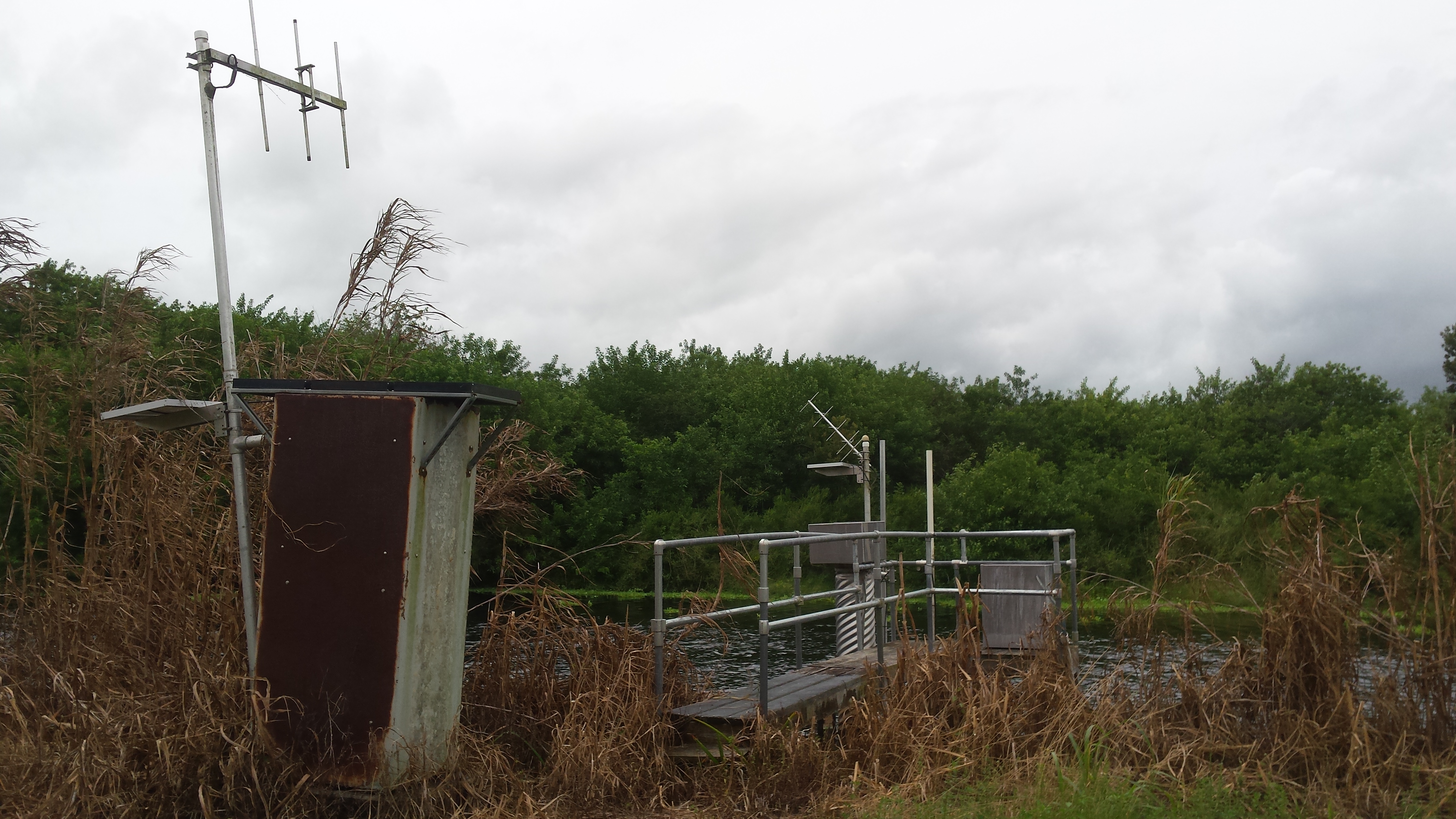
L-28 Canal Above S-140 Near Clewiston Gage. L-28 Canal above S-140 gage


Computed discharge at this station may differ from individual measurements because 
of changes in tidal influence, wind, or other factors.


Available Parameters Available Period
  
2007-10-01  2026-02-22
2007-10-01  2026-02-22
2025-10-25  2026-02-22


 (7)
 

  -- or --


Summary of all available data for this site
Instantaneous-data availability statement


Discharge, cubic feet per second

Most recent instantaneous value: -148 02-22-2026   09:00 EST
Graph of  Discharge, cubic feet per second

Add up to 2 more sites and replot for "Discharge, cubic feet per second"

?


Create presentation-quality / stand-alone graph.   Subscribe to WaterAlert      

See this graph on the Monitoring Location Pages


Daily discharge, cubic feet per second -- statistics for Feb 22 based on 26 water years of record more
Most Recent
Instantaneous
Value Feb 22
Min
(2007)
25th
percen-
tile
Median Mean 75th
percen-
tile
Max
(2016)
-148 -63.2 12 43 53 99 148


Gage height, feet

Most recent instantaneous value: 10.83 02-22-2026   09:00 EST
Graph of  Gage height, feet

Add up to 2 more sites and replot for "Gage height, feet"

?


Create presentation-quality / stand-alone graph.   Subscribe to WaterAlert      

See this graph on the Monitoring Location Pages


Mean water velocity for discharge computation, feet per second

Most recent instantaneous value: -0.17 02-22-2026   09:00 EST
Graph of  Mean water velocity for discharge computation, feet per second

Add up to 2 more sites and replot for "Mean water velocity for discharge computation, feet per second"

?


Create presentation-quality / stand-alone graph.   Subscribe to WaterAlert      

See this graph on the Monitoring Location Pages