PROVISIONAL DATA SUBJECT TO REVISION
Click to hidestation-specific text
 UNLESS FUTURE FUNDING IS PROVIDED, DATA
COLLECTION AT THIS SITE WILL BE DISCONTINUED SEPTEMBER 30, 2009.
INQUIRIES SHOULD BE DIRECTED TO BOB HAINLY AT
(717)730-6971.
UNLESS FUTURE FUNDING IS PROVIDED, DATA
COLLECTION AT THIS SITE WILL BE DISCONTINUED SEPTEMBER 30, 2009.
INQUIRIES SHOULD BE DIRECTED TO BOB HAINLY AT
(717)730-6971.STATION.--01569800 LETORT SPRING RUN NEAR CARLISLE, PA
LOCATION.--Lat 40`14'05", long 77`08'23", Cumberland County, Hydrologic Unit 02050305, on right bank 320 ft downstream from bridge on U.S. Highway 11, 0.2 mi upstream from mouth, 3.1 mi west of New Kingstown, and 3.7 mi east of Carlisle.
DRAINAGE AREA.--21.6 square miles.
PERIOD OF RECORD.--June 1976 to September 2009. (Discontinued)
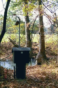
GAGE.--Water-stage recorder and crest-stage gage. Elevation of gage is 410 ft above sea level, from topographic map.
EXTREMES OUTSIDE PERIOD OF RECORD.--Flood in March 1936 reached a stage of 8.8 ft, discharge not determined, and flood in June 1972 reached a stage of 8.4 ft, from information by local resident, discharge not determined.
Instantaneous-data availability statement