USGS 06483290 Rock River below Tom Creek at Rock Rapids, IA

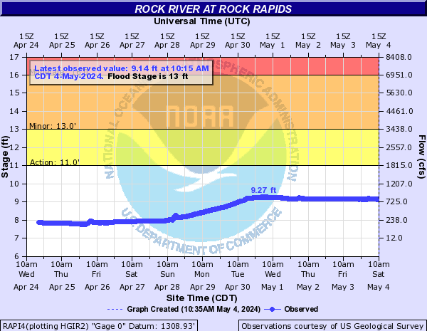
PROVISIONAL DATA SUBJECT TO REVISION

Click to hidestation-specific text
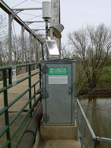
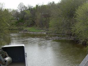
> Site Information

> Images

> National Weather Service River Forecast

Funding For This Site Provided By:

Link to Upstream Gage

Iowa WSC Gage Network

Link to Downstream Gage


This station managed by the Council Bluffs Field Office.

Available Parameters Available Period
  
2001-05-04  2025-05-12
2007-10-01  2025-05-12


 (7)
 

  -- or --


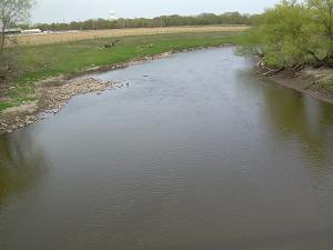
Summary of all available data for this site
Instantaneous-data availability statement


Discharge, cubic feet per second

Most recent instantaneous value: 97.1 05-12-2025   10:15 CDT
Graph of  Discharge, cubic feet per second

Add up to 2 more sites and replot for "Discharge, cubic feet per second"

?


Create presentation-quality / stand-alone graph.   Subscribe to WaterAlert      

See this graph on the Monitoring Location Pages


Daily discharge, cubic feet per second -- statistics for May 12 based on 24 water years of record more
Most Recent
Instantaneous
Value May 12
Min
(2004)
25th
percen-
tile
Median Mean 75th
percen-
tile
Max
(2018)
97.1 110 400 766 774 1000 2130


Gage height, feet

Most recent instantaneous value: 7.23 05-12-2025   10:15 CDT
Graph of  Gage height, feet

Add up to 2 more sites and replot for "Gage height, feet"

?


Create presentation-quality / stand-alone graph.   Subscribe to WaterAlert      

See this graph on the Monitoring Location Pages