USGS 09033300 FRASER RIVER BLW CROOKED CR AT TABERNASH CO

PROVISIONAL DATA SUBJECT TO REVISION

Click to hidestation-specific text
Click for larger image

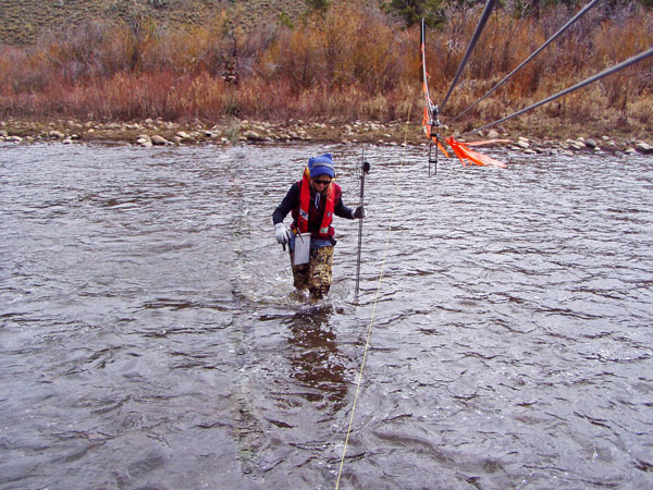
The discharge at this site is operated seasonally, May through October only. The water temperature is operated from June through September only.

Station operated by the U.S. Geological Survey in cooperation with Colorado River Water Conservation District.

Current shift adjusted rating table.
What is a shift adjusted stage-discharge rating table?

Boating safety tips

This station managed by the Lakewood Field Office.

Available Parameters Available Period
  
2008-04-12  2024-10-01
1998-10-01  2025-05-17
2020-11-01  2025-05-17


 (7)
 

  -- or --


Summary of all available data for this site
Instantaneous-data availability statement

Temperature, water, degrees Celsius
 
-- Data temporarily unavailable for the time period specified --


Discharge, cubic feet per second

Most recent instantaneous value: 187 05-17-2025   13:15 MDT
Graph of  Discharge, cubic feet per second

Add up to 2 more sites and replot for "Discharge, cubic feet per second"

?


Create presentation-quality / stand-alone graph.   Subscribe to WaterAlert      

See this graph on the Monitoring Location Pages


Daily discharge, cubic feet per second -- statistics for May 17 based on 26 water years of record more
Min
(2004)
Most Recent
Instantaneous
Value May 17
25th
percen-
tile
Median Mean 75th
percen-
tile
Max
(2011)
54.2 187 217 289 301 399 752


Gage height, feet

Most recent instantaneous value: 3.87 05-17-2025   13:15 MDT
Graph of  Gage height, feet

Add up to 2 more sites and replot for "Gage height, feet"

?


Create presentation-quality / stand-alone graph.   Subscribe to WaterAlert      

See this graph on the Monitoring Location Pages