USGS 09081000 ROARING FORK RIVER NEAR EMMA, CO

PROVISIONAL DATA SUBJECT TO REVISION

Click to hidestation-specific text
Click for larger image

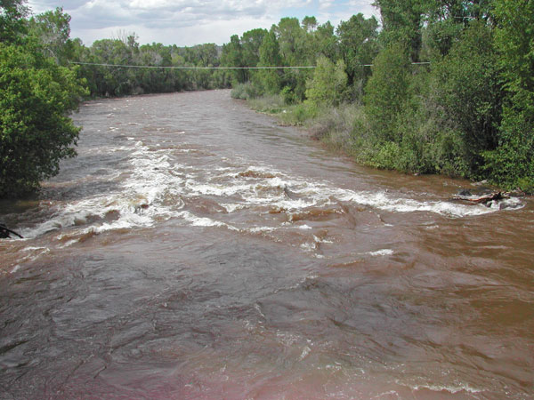
One or more sensors at this site are operated seasonally. Contact Steve Anders for more information at spanders@usgs.gov.

Station operated by the U.S. Geological Survey in cooperation with Town of Basalt, Colorado River Water Conservation District, Pitkin County, Roaring Fork Conservancy District and Eagle County.

Current shift adjusted rating table.
What is a shift adjusted stage-discharge rating table?

Boating safety tips

This station managed by the Grand Junction Field Office.

Available Parameters Available Period
  
2022-09-07  2023-11-01
2019-04-03  2023-10-01
1998-03-13  2024-03-18
2020-10-05  2024-03-18
2022-09-07  2023-11-01


 (7)
 

  -- or --


Summary of all available data for this site
Instantaneous-data availability statement


Discharge, cubic feet per second

Most recent instantaneous value: 322 03-18-2024   19:30 MDT
Graph of  Discharge, cubic feet per second

Add up to 2 more sites and replot for "Discharge, cubic feet per second"

?


Create presentation-quality / stand-alone graph.   Subscribe to WaterAlert      

See this graph on the Monitoring Location Pages


Daily discharge, cubic feet per second -- statistics for Mar 18 based on 26 water years of record more
Min
(2021)
25th
percen-
tile
Median Mean Most Recent
Instantaneous
Value Mar 18
75th
percen-
tile
Max
(2015)
161 198 242 274 322 339 458


Gage height, feet

Most recent instantaneous value: 5.10 03-18-2024   19:30 MDT
Graph of  Gage height, feet

Add up to 2 more sites and replot for "Gage height, feet"

?


Create presentation-quality / stand-alone graph.   Subscribe to WaterAlert      

See this graph on the Monitoring Location Pages