PROVISIONAL DATA SUBJECT TO REVISION
Click to hidestation-specific text
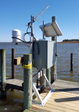
LOCATION.--Lat 38°35'29.5", long 75°12'41.7", Sussex County, DE, Hydrologic Unit 02040303, on left bank
   attached to a privately-owned fishing pier, at Seals Point, 1.9 mi west of Oak Orchard.
DRAINAGE AREA.--Not determined.
PERIOD OF RECORD.--April 1991 to current year.
GAGE.--Water-stage recorder. Datum of gage is 0.00 ft above North American Vertical Datum of 1988 (NAVD88).
   Prior to October 1, 2014, at datum 0.78 ft higher (0.00 ft above NGVD29).
REMARKS.--This is a tidal station. Discharge is not determined at this location. U.S. Geological
   Survey satellite data-collection platform at station.
EXTREMES FOR PERIOD OF RECORD.--Maximum elevation, 6.99 ft, NGVD29 (6.21 ft, NAVD88), Feb. 5, 1998;
   minimum elevation, -3.53 ft, NAVD88, March 15, 2017.
EXTREMES OUTSIDE PERIOD OF RECORD.--Storm of March 1962 reached an elevation of 6.73 ft, NGVD29 (5.95 ft, NAVD88),
   from floodmark.
COOPERATION.--Funding for this station is provided by the Delaware Department of Natural Resources and
   Environmental Control through the Delaware Geological Survey, and the Delaware Department of Transportation.
CRITICAL LEVELS.--Top of pier; 2.72 ft, NAVD88, information provided by U.S. Geological Survey.
Note - In order to convert historic water level data stored in
NGVD29 datum to the current NAVD88 datumusers must apply the known -0.78 ft datum shift, as calculated for this location using VERTCON.
Summary of all available data for this site
Instantaneous-data availability statement
