PROVISIONAL DATA SUBJECT TO REVISION
Click to hidestation-specific text
 STATION.--01538720 FISHING CREEK AT GRASSMERE PARK,
PA
STATION.--01538720 FISHING CREEK AT GRASSMERE PARK,
PA LOCATION.--Lat 41`16'29.5", long 76`22'40.3", Columbia County, Hydrologic Unit 02050107, at bridge 850 ft south from intersection of SR 118 with School House Drive and 1,000 ft downstream from the confluence of the the East Branch and the West Branch of Fishing Creek.
DRAINAGE AREA.--53.2 square miles.
PERIOD OF RECORD.-- September 2019 to current year.
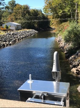
GAGE.--Water-stage recorder and non-contact sensor. Datum of gage is 918.6 ft above North American Vertical Datum of 1988 (NAVD88) from GNSS survey. Prior to June 4, 2025, the datum of gage was erroneously reported as 927 or 923 ft above NAVD88 depending on source. Iridium telemetry at station.
COOPERATION.--Station established and maintained by the U.S. Geological Survey. Funding for the operation of this gage is provided by Columbia County, PA.
Summary of all available data for this site
Instantaneous-data availability statement

