Funding for this site is provided by:
 STATION.
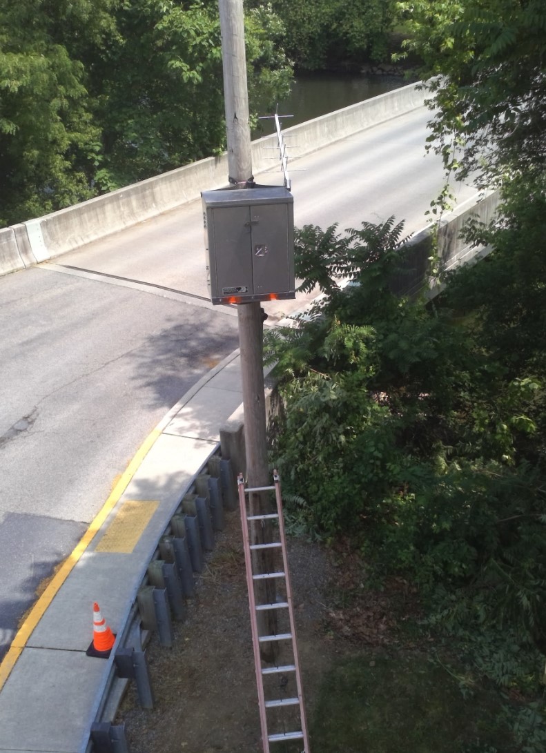
--01573600 SWATARA CREEK AT MIDDLETOWN,
PA
LOCATION.--Lat 40`11'32.86, long
76`43'41.58", Dauphin County, Hydrologic Unit 02050305, at
Grubb Street Bridge and Hoffer Park, at Middletown.
DRAINAGE AREA.--569 square miles.
PERIOD OF RECORD.--June 2007 to current year.
GAGE.--Water-stage recorder and crest-stage gage.
Datum of gage is 278.56 ft above North American Vertical Datum of
1988.
COOPERATION.--Funding for the operation of this
station is provided by the Pennsylvania Department of Environmental
Protection and the U.S. Geological Survey.
REMARKS.--Satellite telemetry at station.
Stage-only.
GAGE HEIGHTS OF IMPORTANCE.-
Supplied by USGS: Data transmitter operational limit -
35.7 ft. Flood of Record-- 23.29 ft.
Supplied by NWS: Level of flooding associated with the
remnants of Tropical Storm Lee on September 9, 2011. 20 ft--Widespread
flooding of structures... including the trailer park at Harborton Place
and Caravan Court. 18 ft-- Widespread flooding occurs. Numerous homes
are affected by high water. Route 230 is affected. Flooding begins in
the vicinity of Hoffer Park. 15 ft--Flooding begins in the vicinity of
Few Avenue and near the community swimming pool. 12 ft-- Both banks
overflow upstream from the Vine Street Bridge and several basements are
affected. 11 ft-- Minor overbank flooding begins near Vine Street
Bridge and downstream to the Susquehanna River.

