Warning: Javascript must be enabled to use all the features on this page!


Page Loading - Please Wait...

Click to hideNews Bulletins
! This page is undergoing modernization with expected decommissioning as key features are added to the modernized pages.
Learn more about our modernization plans to find out which options will suit you best. Next Generation Monitoring Location Page is available now.

USGS 01595000 NORTH BRANCH POTOMAC RIVER AT STEYER, MD

PROVISIONAL DATA SUBJECT TO REVISION

Click to hidestation-specific text
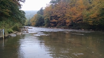
LOCATION.-- Lat 39°18'06.8", long 79°18'24.8", Garrett County, MD, Hydrologic Unit 02070002,
   on left bank 0.3 mi southeast of Steyer, 0.4 mi downstream from Steyer Run, 2.0 mi northeast of
   Gorman, and at mile 81.8.
DRAINAGE AREA.--73.1 mi2
PERIOD OF RECORD.--July 1956 to current year.
REVISIONS HISTORY.--WDR WV-97-1: Drainage area.
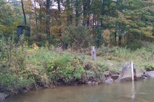
GAGE.--Water-stage recorder and crest-stage gage.  Datum of gage is 2,275.58 ft above North American 
   Vertical Datum of 1988.
REMARKS.--Occasional diversions and regulation from unknown source upstream from station. U.S. Army 
   Corps of Engineers satellite data-collection platform at station. Water-quality records for some
   prior periods have been collected at this location.
EXTREMES FOR PERIOD OF RECORD.--Maximum discharge, 11,500 ft3/s, Nov. 5, 1985, gage height, 13.14 ft;
   minimum discharge, 2.7 ft3/s, Aug. 18, 1999.
EXTREMES OUTSIDE PERIOD OF RECORD.--Flood of Oct. 15, 1954, reached a stage of 13.0 ft, from floodmarks;
   discharge, 11,300 ft3/s, from rating curve extended above 3,000 ft3/s on basis of slope-area
   measurement at gage height of 10.30 ft.
COOPERATION.--Funding for the operation of this station is provided by the Maryland Department of
   Transportation and the U.S. Geological Survey.
This station managed by the MD-DE-DC Water Science Center Frostburg office.

Available Parameters Available Period
  
1990-10-01  2024-04-25
2007-10-01  2024-04-25


 (7)
 

  -- or --


Summary of all available data for this site
Instantaneous-data availability statement


Discharge, cubic feet per second

Most recent instantaneous value: 112 04-25-2024   18:15 EDT
Graph of

Add up to 2 more sites and replot for "Discharge, cubic feet per second"

?


Create presentation-quality / stand-alone graph.   Subscribe to WaterAlert      

See this graph on the Monitoring Location Pages


Daily discharge, cubic feet per second -- statistics for Apr 25 based on 67 water years of record more
Min
(1976)
Most Recent
Instantaneous
Value Apr 25
25th
percen-
tile
Median Mean 75th
percen-
tile
Max
(1975)
49.0 112 123 176 252 292 1360


Gage height, feet

Most recent instantaneous value: 2.62 04-25-2024   18:15 EDT
Graph of

Add up to 2 more sites and replot for "Gage height, feet"

?


Create presentation-quality / stand-alone graph.   Subscribe to WaterAlert      

See this graph on the Monitoring Location Pages