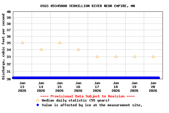
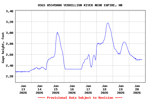
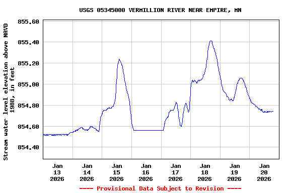
USGS 05345000 VERMILLION RIVER NEAR EMPIRE, MN

PROVISIONAL DATA SUBJECT TO REVISION

Click to hidestation-specific text
Operated in cooperation with the

Vermillion River Watershed Joint Powers Organization Logo and the Vermillion River Watershed Joint Powers Organization

USGS WaterWatch's "Site Dashboard" provides seasonal and other context-oriented information about current and historical streamflow.

This station managed by the Mounds View Field Office.

Available Parameters Available Period
  
1998-01-23  2025-09-01
2007-10-01  2025-09-01
2022-08-31  2025-09-01


 (7)
 

  -- or --


Summary of all available data for this site
Instantaneous-data availability statement
*** There are no data available on the Waterdata system for the time period specified,
    although data may be available in the files of the local USGS office operating the station.