LOCATION.--Lat 42°13'37", long 96°04'40"
referenced to North American Datum of 1927, in NE 1/4 NE 1/4 NE 1/4
sec.33, T.86 N., R.45 W., Woodbury County, IA, Hydrologic Unit
10230004, on left bank on upstream side of bridge on State Highway
141, 1.0 mi east of Hornick, and 9.2 mi upstream from Wolf Creek.
(map)
DRAINAGE AREA.--403 mi2.
SURFACE-WATER RECORDS
PERIOD OF RECORD.--Discharge records from April 1939 to September
1969 (published as "at Holly Springs"), July 1974 to
September 2008, January 2010 to current year; annual maximum
discharge, water year 2009.
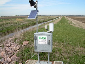
GAGE.--Water-stage recorder. Datum of gage is 1,045.82 ft above
National Geodetic Vertical Datum of 1929.
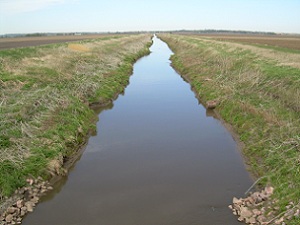
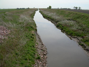
REMARKS.--West Fork Ditch is a dredged channel which diverts the
flow of the West Fork Little Sioux River at Hornick south for 5.5 mi,
then southeast for 6.5 mi to a point 1.2 mi west of Kennebec, where
Wolf Creek enters from the east. From this point, the ditch roughly
parallels the Little Sioux River and is known as the Monona-Harrison
Ditch.
WATER-QUALITY RECORDS
PERIOD OF DAILY RECORD.--
SUSPENDED-SEDIMENT DISCHARGE: April 1939 to June 1941, August 1957 to
November 1959, April to November 1960, April to November 1961, April
to November 1962, April to November 1963, March 1964 to January 1965,
March 1965 to September 1967, records provided by U.S. Army Corps of
Engineers.
 Site Information