USGS 10055000 BEAR LAKE AT STATE PARK MARINA NR GARDEN CITY, UT

PROVISIONAL DATA SUBJECT TO REVISION

Click to hidestation-specific text
USGS station 10055000 
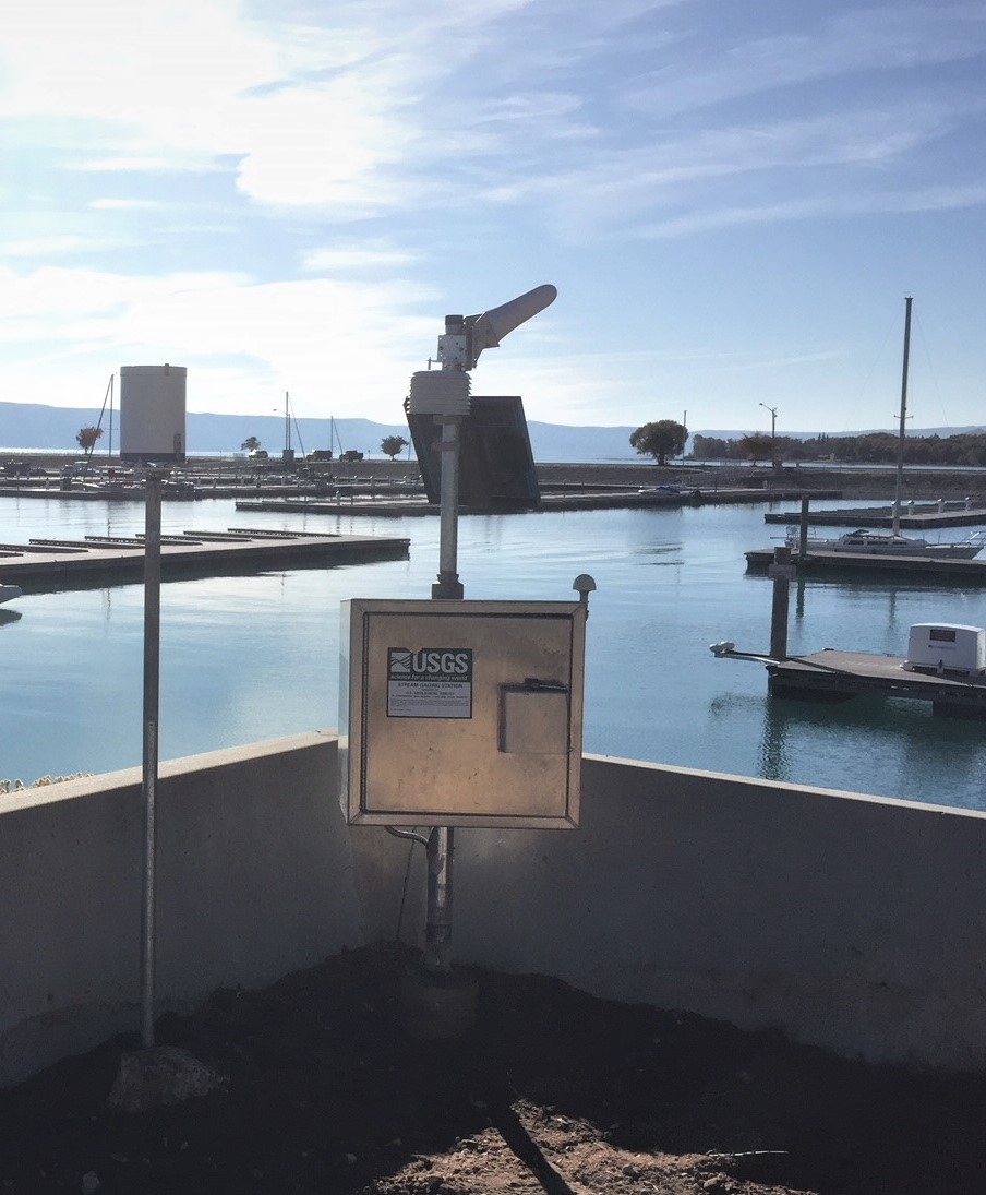
Station operated by the U.S. Geological Survey, in cooperation with the Bear River Commission and Bear Lake Watch.
rainfall Arrow
This station managed by the Salt Lake City Field Office.

Available Parameters Available Period
  
2023-12-26  2024-04-24
2023-12-26  2024-04-24
2019-10-16  2024-04-24
2019-10-16  2024-04-24


 (7)
 

  -- or --


Summary of all available data for this site
Instantaneous-data availability statement


Temperature, air, degrees Celsius

Most recent instantaneous value: 11.2 04-24-2024   11:15 MDT
Graph of  Temperature, air, degrees Celsius

Add up to 2 more sites and replot for "Temperature, air, degrees Celsius"

?


Create presentation-quality / stand-alone graph.   Subscribe to WaterAlert      

See this graph on the Monitoring Location Pages


Precipitation, total, inches

Most recent instantaneous value: 0.00 04-24-2024   11:15 MDT
Graph of  Precipitation, total, inches

Add up to 2 more sites and replot for "Precipitation, total, inches"

?


Create presentation-quality / stand-alone graph.   Subscribe to WaterAlert      

See this graph on the Monitoring Location Pages


Elevation of reservoir water surface above datum, feet, [Elevation, ft (UP&L Co. Datum)]

Most recent instantaneous value: 5918.80 04-24-2024   11:15 MDT
Graph of  Elevation of reservoir water surface above datum, feet, [Elevation, ft (UP&L Co. Datum)]

Add up to 2 more sites and replot for "Elevation of reservoir water surface above datum, feet, [Elevation, ft (UP&L Co. Datum)]"

?


Create presentation-quality / stand-alone graph.   Subscribe to WaterAlert      

See this graph on the Monitoring Location Pages


Lake or reservoir water surface elevation above NAVD 1988, feet

Most recent instantaneous value: 5925.68 04-24-2024   11:15 MDT
Graph of  Lake or reservoir water surface elevation above NAVD 1988, feet

Add up to 2 more sites and replot for "Lake or reservoir water surface elevation above NAVD 1988, feet"

?


Create presentation-quality / stand-alone graph.   Subscribe to WaterAlert      

See this graph on the Monitoring Location Pages