PROVISIONAL DATA SUBJECT TO REVISION
Click to hidestation-specific text
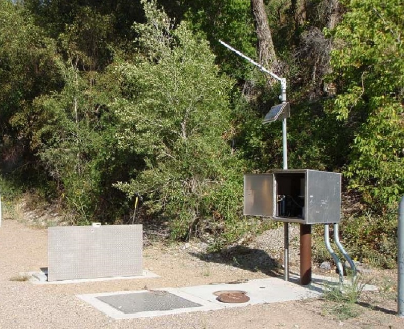 Station operated by the U.S. Geological Survey as
part of the Federal Priority Streamgages Network.
Station operated by the U.S. Geological Survey as
part of the Federal Priority Streamgages Network.Instantaneous-data availability statement
Station operated by the U.S. Geological Survey as
part of the Federal Priority Streamgages Network.
| Min (1977) | 25th percen- tile | Mean | Median | Most Recent Instantaneous Value Jul 29 | 75th percen- tile | Max (1975) |
|---|---|---|---|---|---|---|
| 20.0 | 41 | 58 | 59 | 70.6 | 72 | 94.0 |

![Graph of Mean water velocity for discharge computation, feet per second, [X-Vel, Range Ave]](https://natwebcaww01.wr.usgs.gov/nwisweb/data/img/USGS.10108400.144268.72255..20260722.20260729..0..gif)
 U.S. Department of the Interior |
U.S. Geological Survey
U.S. Department of the Interior |
U.S. Geological Survey
Title: USGS Current Conditions for the Nation
URL:
Page Contact Information: Utah Water Data Support Team
Page Last Modified: 2026-07-29 07:01:52 EDT
3.78 1.36 caww01