USGS 50071225 LAGO FAJARDO NEAR VAPOR, PR

PROVISIONAL DATA SUBJECT TO REVISION

Click to hidestation-specific text
Click to go to the Autoridad de Acueductos y Alcantarillados de Puerto Rico web page

Image of Lago Fajardo near Vapor
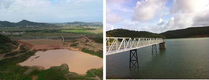
Photos by USGS, Caribbean-Florida Water Science Center Hydrologic Technicians - San Juan.
This station managed by the Caribbean-Florida WSC - San Juan.

Available Parameters Available Period
  
2011-09-23  2024-04-19
2011-09-23  2024-04-19
2011-09-23  2024-04-19
2011-09-23  2024-04-19


 (7)
 

  -- or --


Summary of all available data for this site
Instantaneous-data availability statement


Lake or reservoir elevation above local mean sea level (LMSL), feet, [OLDPR]

Most recent instantaneous value: 171.08 04-19-2024   14:15 AST
Graph of  Lake or reservoir elevation above local mean sea level (LMSL), feet, [OLDPR]

Add up to 2 more sites and replot for "Lake or reservoir elevation above local mean sea level (LMSL), feet, [OLDPR]"

?


Create presentation-quality / stand-alone graph.   Subscribe to WaterAlert      

See this graph on the Monitoring Location Pages


Lake or reservoir elevation above local mean sea level (LMSL), meters, [OLDPR]

Most recent instantaneous value: 52.145 04-19-2024   14:15 AST
Graph of  Lake or reservoir elevation above local mean sea level (LMSL), meters, [OLDPR]

Add up to 2 more sites and replot for "Lake or reservoir elevation above local mean sea level (LMSL), meters, [OLDPR]"

?


Create presentation-quality / stand-alone graph.   Subscribe to WaterAlert      

See this graph on the Monitoring Location Pages


Lake or reservoir elevation, above Puerto Rico Datum of 2002, feet

Most recent instantaneous value: 170.70 04-19-2024   14:15 AST
Graph of  Lake or reservoir elevation, above Puerto Rico Datum of 2002, feet

Add up to 2 more sites and replot for "Lake or reservoir elevation, above Puerto Rico Datum of 2002, feet"

?


Create presentation-quality / stand-alone graph.   Subscribe to WaterAlert      

See this graph on the Monitoring Location Pages


Lake or reservoir elevation, above Puerto Rico Datum of 2002, meters

Most recent instantaneous value: 52.029 04-19-2024   14:15 AST
Graph of  Lake or reservoir elevation, above Puerto Rico Datum of 2002, meters

Add up to 2 more sites and replot for "Lake or reservoir elevation, above Puerto Rico Datum of 2002, meters"

?


Create presentation-quality / stand-alone graph.   Subscribe to WaterAlert      

See this graph on the Monitoring Location Pages