LOCATION.--Lat 43°18'55.18", long
77°43'40.03" referenced to North American Datum of
1983, Monroe County, NY, Hydrologic Unit 04130001, on left bank
on downstream side of bridge on Lake Ontario State Parkway, 3.7
mi northwest of Hilton.
PERIOD OF RECORD.--October 2019 to current year.
GAGE.--Water-stage recorder. Datum of gage is IGLD of
1985.
EXTREMES FOR PERIOD OF RECORD.--Maximum elevation,
247.55 ft, May 7, 2020; minimum elevation, 243.81 ft, Nov.
10, 2022, affected by wind.
EXTREMES OUTSIDE PERIOD OF RECORD.--Flood in May 2017,
reached an elevation of 249.19 ft, present datum, from
floodmarks at station 04220259.

 Site Information
 WaterAlert – get an
email or text (SMS) alert based on your chosen threshold.
WaterAlert – get an
email or text (SMS) alert based on your chosen threshold.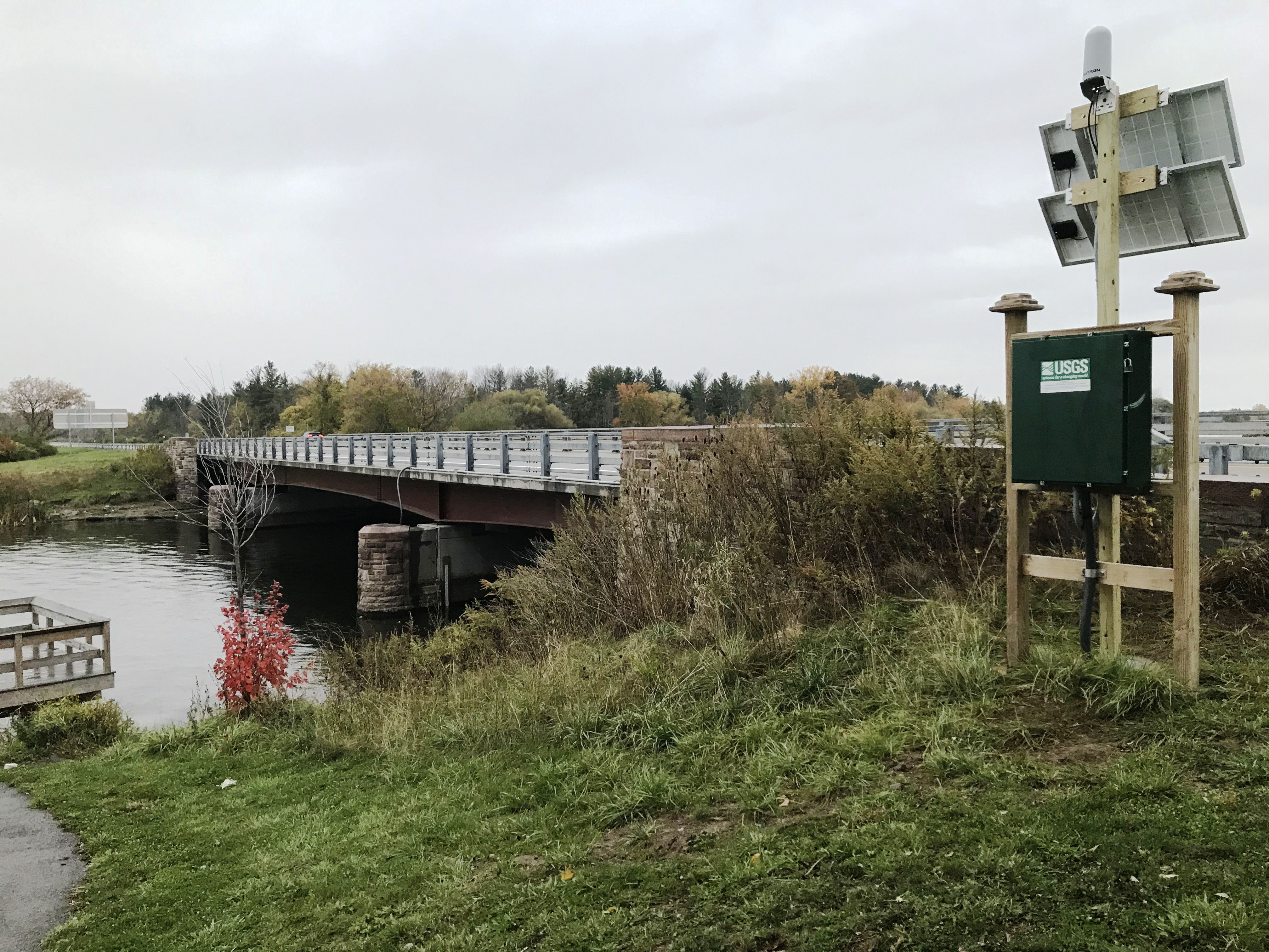 Station image