LOCATION.--Lat 43°31'28.88", long
76°15'23.62" referenced to North American Datum of
1983, Oswego County, NY, Hydrologic Unit 04140102, on right
bank 190 ft downstream from Mexico Point State Boat Launch, 250
ft upstream from mouth of Lake Ontario, 0.9 mi northwest of
Texas, and 4.2 mi northwest of Mexico.
DRAINAGE AREA.--84.6 mi².
PERIOD OF RECORD.--June 2022 to current year.
GAGE.--Water-stage recorder. Datum of gage is IGLD of
1985.
EXTREMES FOR PERIOD OF RECORD.--Maximum elevation,
247.47 ft, May 21, 2023, affected by wind; minimum elevation,
243.52 ft, Nov. 9, 19, 2022, affected by wind.

 Site Information
 WaterAlert – get an
email or text (SMS) alert based on your chosen threshold.
WaterAlert – get an
email or text (SMS) alert based on your chosen threshold.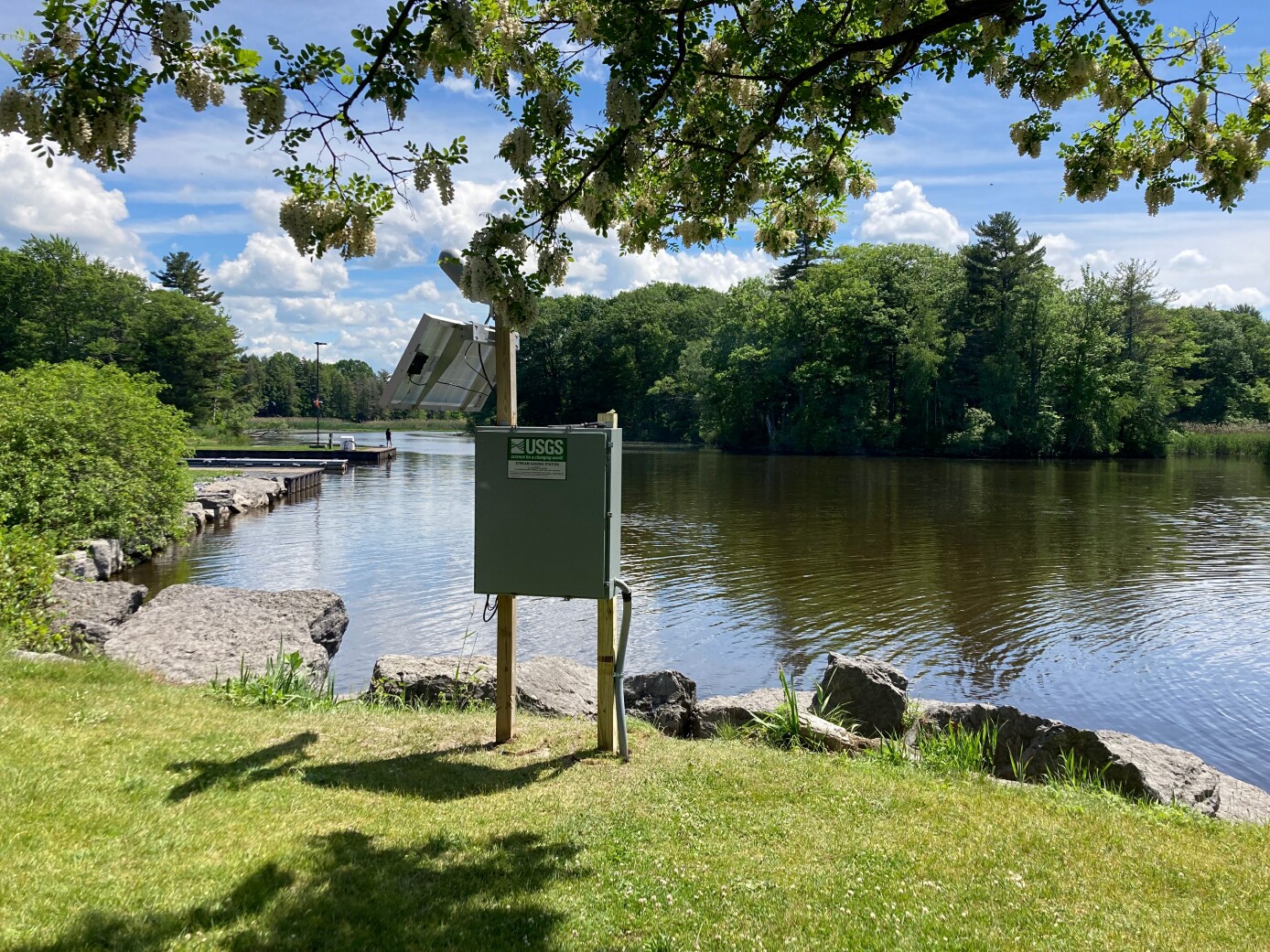 Station image