LOCATION.--Lat 43°56'49.47", long
76°07'58.01" referenced to North American Datum of
1983, Jefferson County, NY, Hydrologic Unit 04150200, on south
shore of Black River Bay, on abandoned pier in Sackets Harbor
Battlefield State Park, 0.7 mi northwest of Sackets
Harbor.
PERIOD OF RECORD.--October 2019 to current year.
GAGE.--Water-stage recorder. Datum of gage is IGLD of
1985.
EXTREMES FOR PERIOD OF RECORD.--Maximum elevation,
248.49 ft, Nov. 1, 2019, affected by wind; minimum elevation,
242.72 ft, Dec. 1, 2022, affected by wind.

 Site Information
 WaterAlert – get an
email or text (SMS) alert based on your chosen threshold.
WaterAlert – get an
email or text (SMS) alert based on your chosen threshold.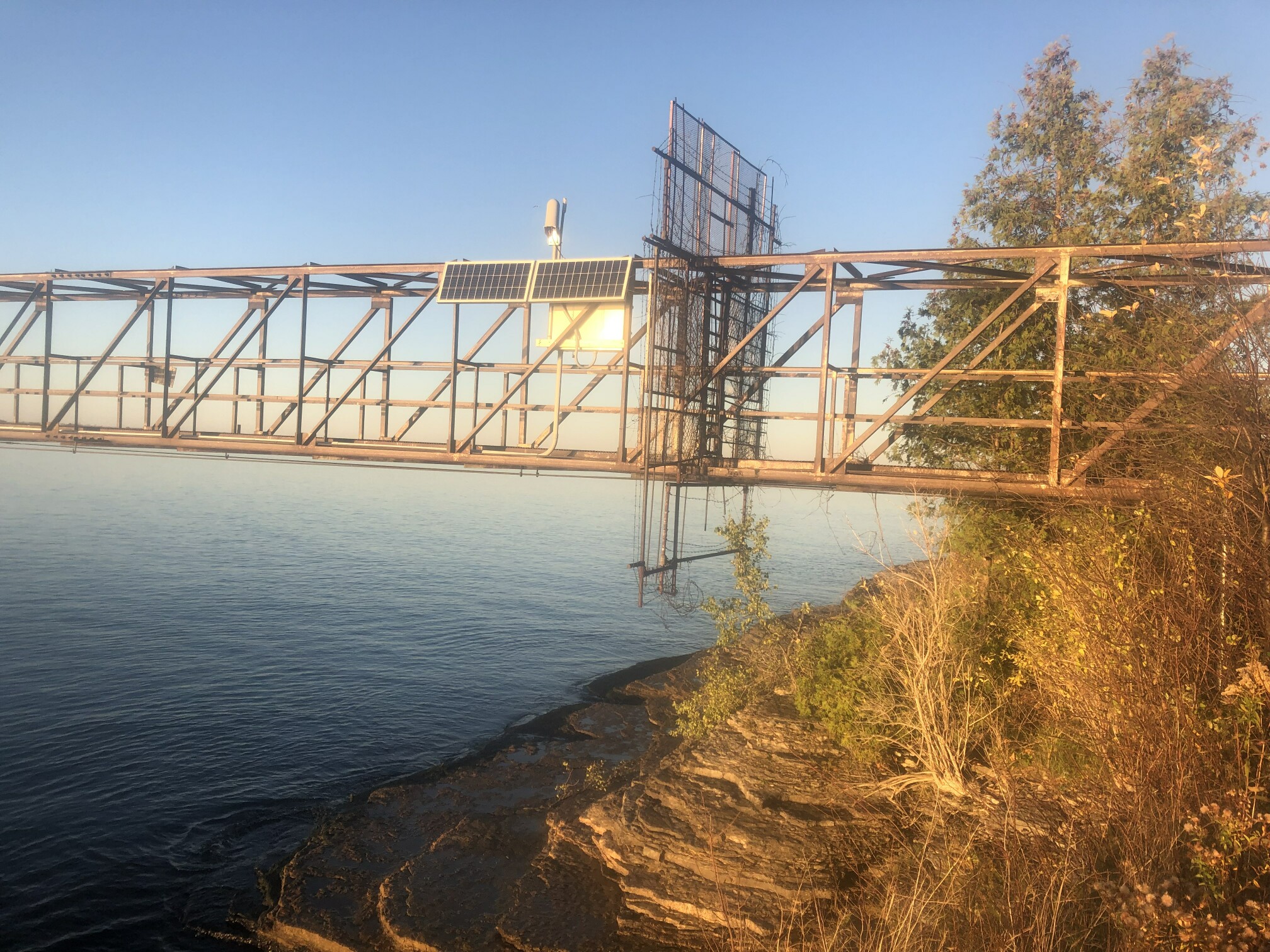 Station image