LOCATION.--Lat 41°14'21.7", long
73°48'11.8" referenced to North American Datum of
1983, Westchester County, NY, Hydrologic Unit 02030101, near
Yorktown Heights.
WELL CHARACTERISTICS.--Depth 24 ft. Upper casing
diameter 2 in; top of first opening 9 ft, bottom of last
opening 24 ft.
DATUM.--Land-surface datum is 251.31 ft above North
American Vertical Datum of 1988. Measuring point: Top of
extended casing, 3.38 ft above land-surface datum, Aug. 16,
2016 to May. 11, 2021; Top of extended casing, 3.36 ft above
land-surface datum, May. 11, 2021 to present.
PERIOD OF RECORD.--July 2003 to current year.
GAGE.--Water-stage recorder--15 minute; periodic manual
measurements by USGS personnel.
REMARKS.--Satellite water-level telemeter at
station.
EXTREMES FOR PERIOD OF RECORD.--Highest water level,
4.63 ft below land-surface datum, Apr. 19, 2007; lowest water
level, 17.96 ft below land-surface datum, Nov. 30, Dec. 1, 2,
2016.

 Site Information
 WaterAlert – get an
email or text (SMS) alert based on your chosen threshold.
WaterAlert – get an
email or text (SMS) alert based on your chosen threshold.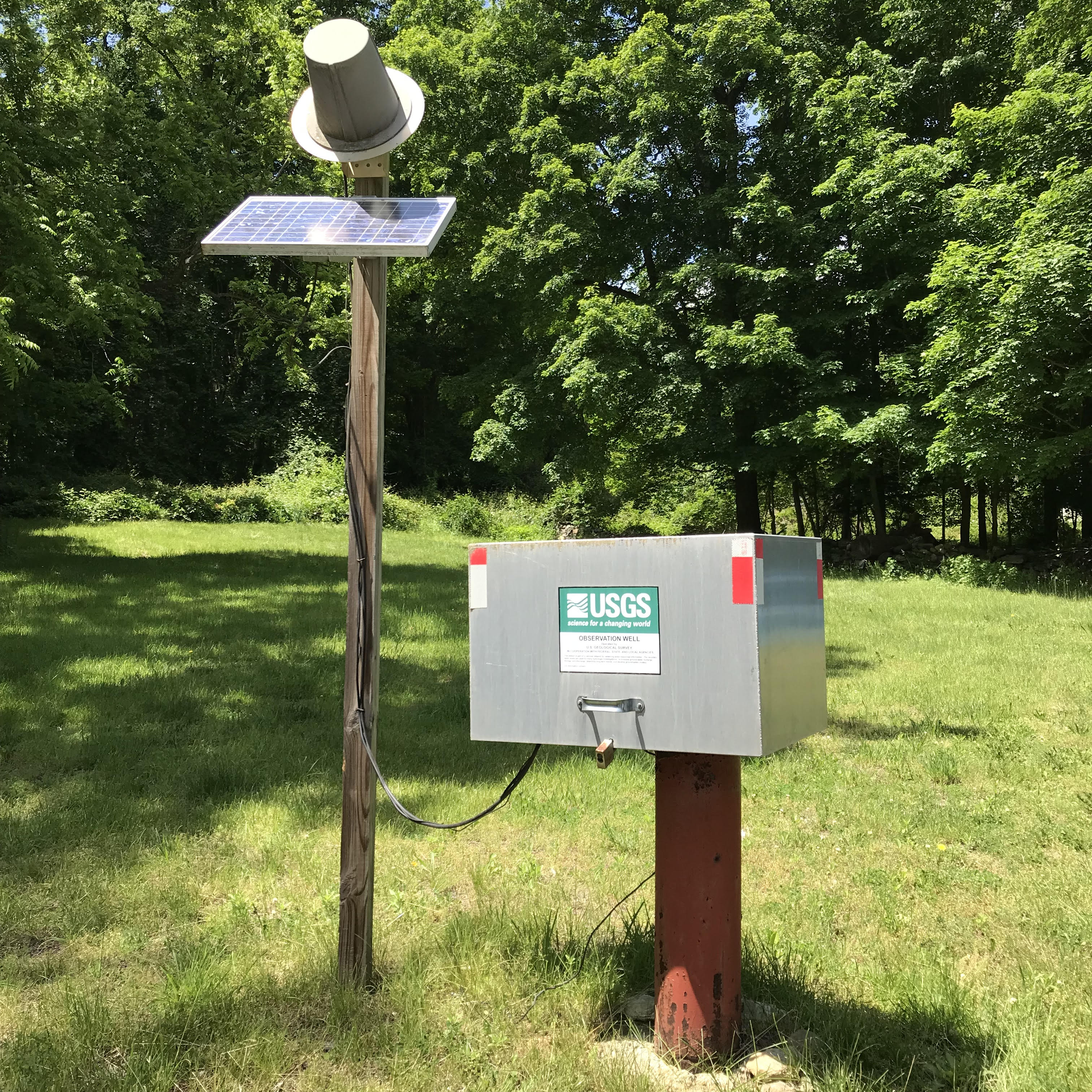 Station image