LOCATION.--Lat 42°54'28.7", long
78°29'24.2" referenced to North American Datum of
1983, Erie County, NY, Hydrologic Unit 04120104, at
Alden.
WELL CHARACTERISTICS.--Depth 44 ft. Upper casing
diameter 6 in; top of first opening undefined, bottom of last
opening undefined. Cased to 44 ft, open end.
DATUM.--Land-surface datum is 823.42 ft above North
American Vertical Datum of 1988. Measuring point: Assumed top
of casing, 1.0 ft above land-surface datum, Jan. 26, 1979 to
Mar. 8, 2022; Two file marks at base of shelter, 3.99 ft above
land-surface datum, Mar. 8, 2022 to Mar. 31, 2023; Two file
marks at base of shelter, 3.98 ft above land-surface datum,
Mar. 31, 2023 to present.
PERIOD OF RECORD.--March 2022 to current year.
Miscellaneous manual measurement--1979.
GAGE.--Water-stage recorder--15 minute; periodic manual
measurements by USGS personnel.
EXTREMES FOR PERIOD OF RECORD.--Highest water level,
0.42 ft below land-surface datum, Apr. 6, 2023; lowest water
level, 3.49 ft below land-surface datum, Aug. 5, 2022, but may
have been lower during period of instrument malfunction, Aug.
3-8, 2022.

 Site Information
 WaterAlert – get an
email or text (SMS) alert based on your chosen threshold.
WaterAlert – get an
email or text (SMS) alert based on your chosen threshold.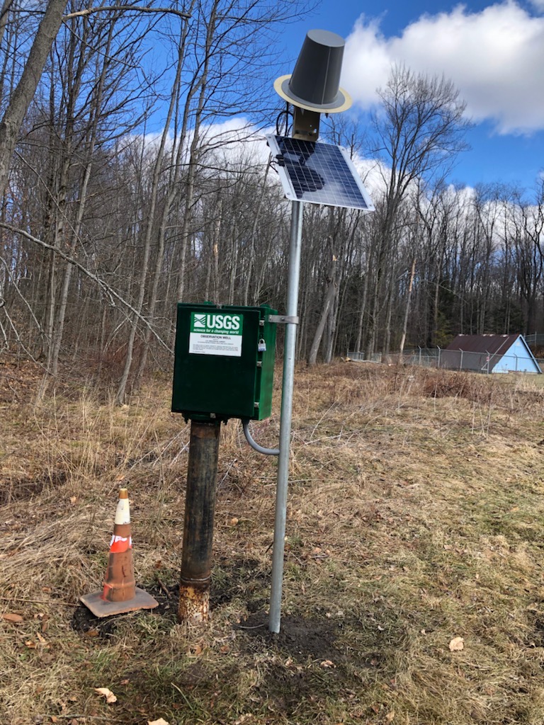 Station image