LOCATION.--Lat 42°56'23.7", long
74°21'06.3" referenced to North American Datum of
1983, Montgomery County, NY, Hydrologic Unit 02020004, at
Fultonville.
WELL CHARACTERISTICS.--Depth 17 ft. Upper casing
diameter 6 in; top of first opening 5.3 ft, bottom of last
opening 17 ft.
DATUM.--Land-surface datum is 411.54 ft above North
American Vertical Datum of 1988. Measuring point: Bottom of
shelter shelf, top of well casing, read at arrow, 1.7 ft above
land-surface datum, Aug. 16, 2021 to Aug. 5, 2022; Bottom of
shelter shelf, top of well casing, read at arrow, 1.72 ft above
land-surface datum, Aug. 5, 2022 to present.
PERIOD OF RECORD.--August 2021 to current year.
REVISIONS HISTORY.--Groundwater levels for the period
Aug. 16, 2021, to Dec. 31, 2021, were revised on June 29, 2022,
based on changes to the corrections applied due to the wrong
units being recorded.
GAGE.--Water-stage recorder--15 minute; periodic manual
measurements by USGS personnel.
REMARKS.--Satellite water-level telemeter at
station.
EXTREMES FOR PERIOD OF RECORD.--Highest water level,
8.13 ft below land-surface datum, Apr. 8, 2022; lowest water
level, 11.61 ft below land-surface datum, Nov. 10, 11,
2022.

 Site Information
 WaterAlert – get an
email or text (SMS) alert based on your chosen threshold.
WaterAlert – get an
email or text (SMS) alert based on your chosen threshold.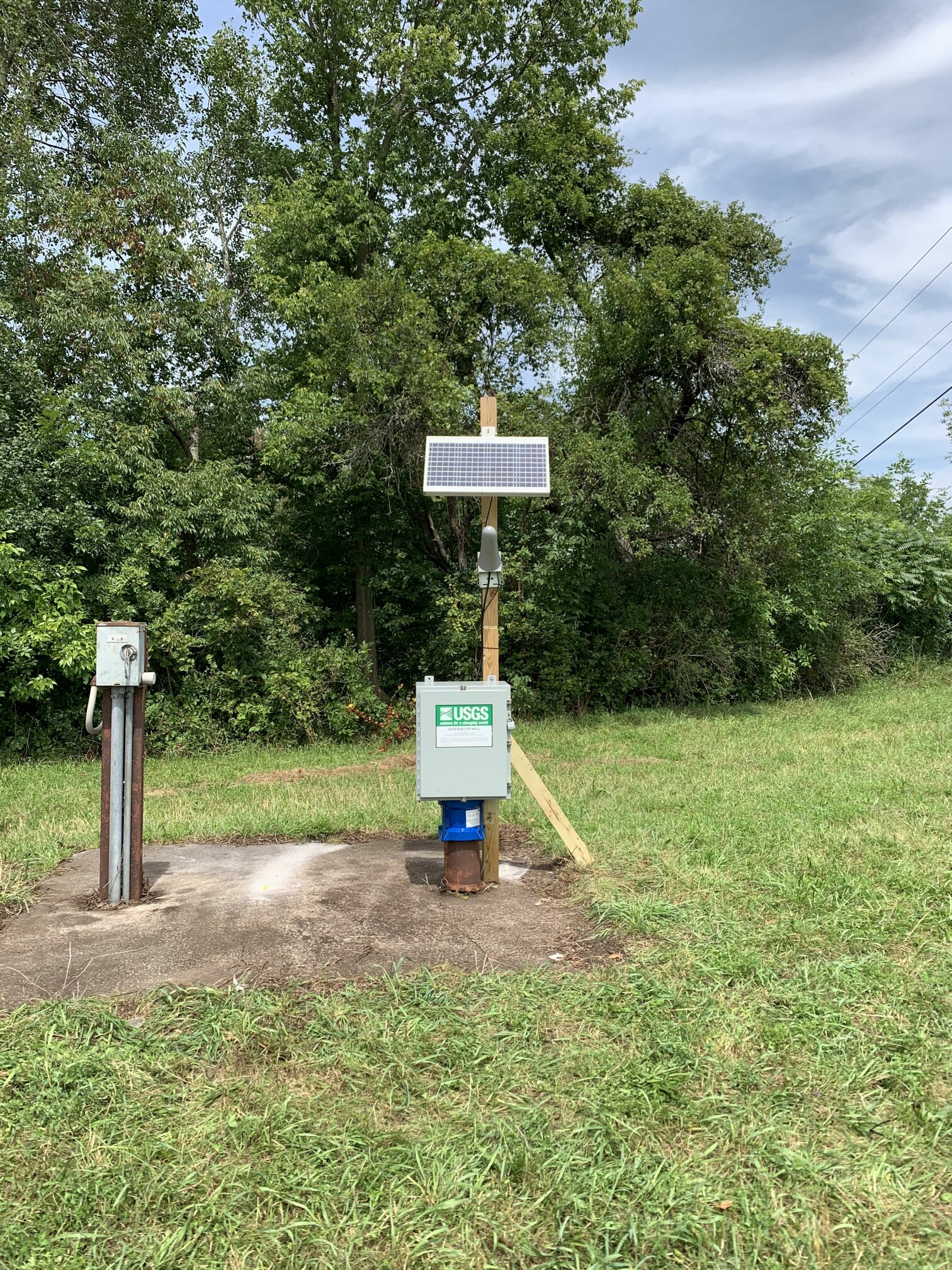 Station image