LOCATION.--Lat 43°00'05.9", long
78°46'40.51" referenced to North American Datum of
1983, Erie County, NY, Hydrologic Unit 04120104, SUNY,
Buffalo.
WELL CHARACTERISTICS.--Depth 75 ft. Upper casing
diameter 6 in; top of first opening 10 ft, bottom of last
opening 78.25 ft. Well filled in from original depth of 78.25
ft.
DATUM.--Land-surface datum is 590.02 ft above North
American Vertical Datum of 1988. Measuring point: Two file
marks on SW corner of well casing, 2.17 ft above land-surface
datum, Oct. 20, 2017 to present.
PERIOD OF RECORD.--October 2017 to current year.
GAGE.--Water-stage recorder--15 minute; periodic manual
measurements by USGS personnel.
REMARKS.--Satellite water-level telemeter at
station.
EXTREMES FOR PERIOD OF RECORD.--Highest water level,
17.18 ft below land-surface datum, Feb. 18, 2022; lowest water
level, 20.25 ft below land-surface datum, Sept. 27, 28,
29, Nov. 22, 2020.

 Site Information
 WaterAlert – get an
email or text (SMS) alert based on your chosen threshold.
WaterAlert – get an
email or text (SMS) alert based on your chosen threshold.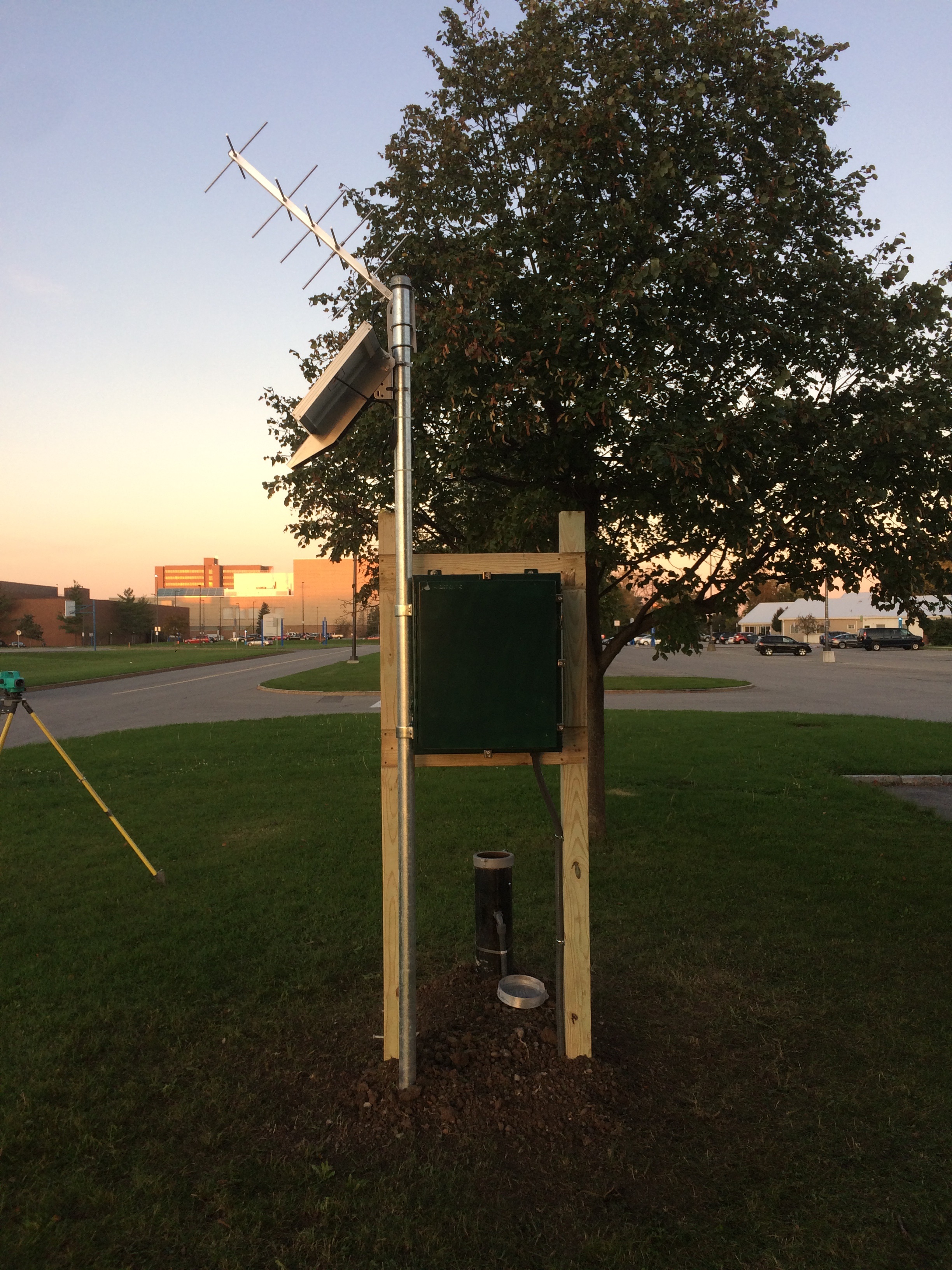 Station image