LOCATION.--Lat 43°09'24.4", long
78°24'13.1" referenced to North American Datum of
1983, Orleans County, NY, Hydrologic Unit 04130001, located
within the Iroquois National Wildlife Refuge, 0.65 mi west of
South Gravel Road, and 500 ft south of Dunlop Road.
WELL CHARACTERISTICS.--Depth 90 ft. Upper casing
diameter 6 in; top of first opening 66.5 ft, bottom of last
opening 90 ft. Cased to 100 ft, open hole.
DATUM.--Land-surface datum is 655.03 ft above North
American Vertical Datum of 1988. Measuring point: Top of
shelter shelf, 4.16 ft above land-surface datum, Oct. 8, 2015
to present.
PERIOD OF RECORD.--December 2008 to current year.
GAGE.--Water-stage recorder--15 minute; periodic
measurements by USGS personnel.
REMARKS.--Satellite water-level telemeter at
station.
EXTREMES FOR PERIOD OF RECORD.--Highest water level,
38.32 ft below land-surface datum, Feb. 15, 2009; lowest water
level, 48.31 ft below land-surface datum, Oct. 13, 2016.

 Site Information
 WaterAlert – get an
email or text (SMS) alert based on your chosen threshold.
WaterAlert – get an
email or text (SMS) alert based on your chosen threshold.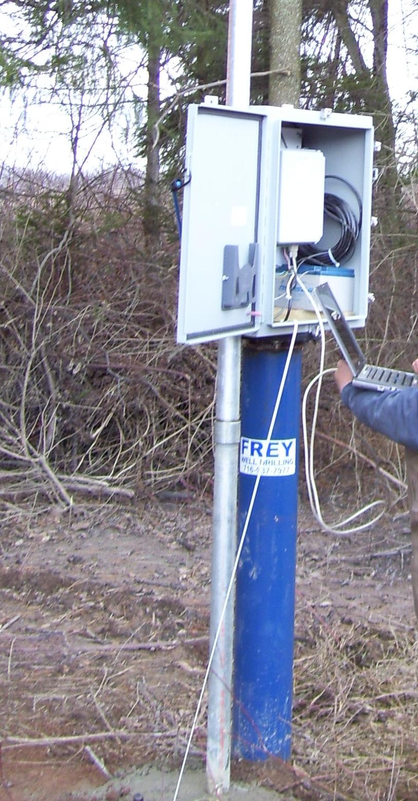 Station image