LOCATION.--Lat 43°13'58.6", long
75°23'54.6" referenced to North American Datum of
1983, Oneida County, NY, Hydrologic Unit 02020004, at Griffiss
Air Force base, Rome.
WELL CHARACTERISTICS.--Depth 35.2 ft. Upper casing
diameter 2 in; top of first opening 25 ft, bottom of last
opening 35 ft. Cased to 25 ft (screen, 25 ft to 35 ft).
DATUM.--Land-surface datum is 517.71 ft above North
American Vertical Datum of 1988. Measuring point: Top of
extended casing, 2.29 ft above land-surface datum, Aug. 31,
2012 to present.
PERIOD OF RECORD.--November 2007 to current year.
GAGE.--Water-stage recorder--15 minute; periodic manual
measurements by USGS personnel.
EXTREMES FOR PERIOD OF RECORD.--Highest water level,
0.75 ft below land-surface datum, Jan. 17, 2022; lowest water
level, 4.66 ft below land-surface datum, Dec. 1, 2, 2013.

 Site Information
 WaterAlert – get an
email or text (SMS) alert based on your chosen threshold.
WaterAlert – get an
email or text (SMS) alert based on your chosen threshold.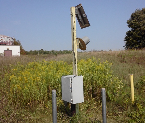 Station image